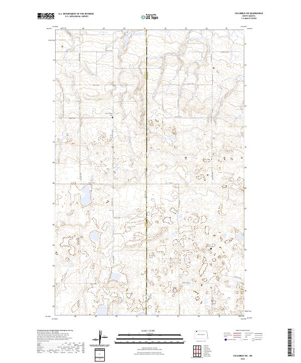
2024 Map of Columbus SW
USGS Topo · Published 2024About this map
The Divide County Waterfowl Production Area dominates this prairie landscape, where the county line separates Divide and Burke Counties. This modern survey reveals a region defined by its conservation areas and dispersed rural sites. For those tracing local history, the Prairie Chapel Cem and Larson Lutheran Cem stand as significant landmarks of the community's early settlement and religious heritage. The drainage of West Branch Short Creek cuts through the northern sections, illustrating the natural water management of the high plains. The map is organized by the Public Land Survey System, showing several townships including t162n r95w and t161n r94w, which provide a clear grid for locating specific family homesteads or historic land tracts across these northern North Dakota counties.
Find a feature on this map
10 named features on this map. Tap any name to fly to it.
Don’t see what you’re looking for? This feature index may not catch every label — zoom into the map to look around manually.
Map Details
Editions of this 2024 Columbus SW Map
This is the sole edition of this map. No revisions or reprints were ever made.
Other maps of this area

1947 · Noonan
USGS Topo · 1:24,000

1947 · Columbus
USGS Topo · 1:24,000

1949 · Columbus SW
USGS Topo · 1:24,000

1949 · Atcoal
USGS Topo · 1:24,000

1949 · Columbus
USGS Topo · 1:24,000

1949 · Noonan SE
USGS Topo · 1:24,000

1949 · Columbus SE
USGS Topo · 1:24,000

1949 · Noonan
USGS Topo · 1:24,000

1950 · Columbus
USGS Topo · 1:62,500

1950 · Noonan
USGS Topo · 1:62,500