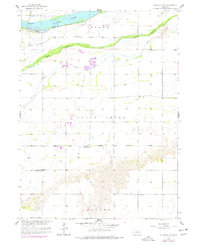
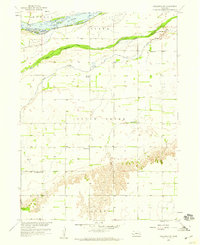
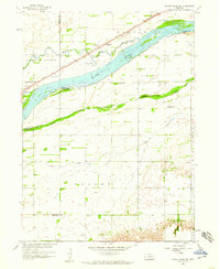
1958 Map of Columbus SW
USGS Topo · Published 1977About this map
The Platte River defines the northern reaches of this landscape, separating Butler Island from the southern plains of Polk County. The terrain transitions from the wide, braided river channels and low-lying South Channel Clear Creek to the more structured section lines and agricultural allotments of the interior. Near the southern bluffs, the name Canada marks a distinct topographic rise overlooking the flats of Clear Creek.
Find a feature on this map
12 named features on this map. Tap any name to fly to it.
Don’t see what you’re looking for? This feature index may not catch every label — zoom into the map to look around manually.
Map Details
Editions of this 1958 Columbus SW Map
2 editions found
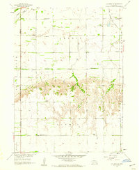
Other maps of this area

1896 · Stromsburg
USGS Topo · 1:125,000
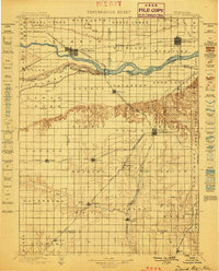
1899 · David City
USGS Topo · 1:125,000

1955 · Fremont
USGS Topo · 1:250,000

1957 · Fremont
USGS Topo · 1:250,000

1958 · Fremont
USGS Topo · 1:250,000
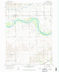
1958 · Monroe
USGS Topo · 1:24,000
1958 · Duncan
USGS Topo · 1:24,000
1958 · Columbus SW
USGS Topo · 1:24,000
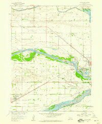
1958 · Silver Creek SE
USGS Topo · 1:24,000
1958 · Columbus SE
USGS Topo · 1:24,000