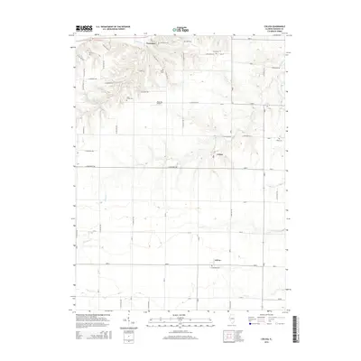
2015 Map of Colusa
USGS Topo · Published 2015About this map
Pontoosuc sits near the northern boundary of this survey, overlooking a landscape defined by the drainages that feed into the nearby Mississippi River valley. The terrain is deeply etched by waterways such as Spillman Cr and Opossum Cr, which create a complex network of ridges and ravines between the cultivated upland flats. This rural Hancock County landscape is primarily organized around a rigid grid of country roads, yet the irregular placement of historic burial grounds like Tull Cem and the Little Family Cem suggests older settlement patterns that preceded the modern road system. Further south, the small communities of Colusa and Adrian serve as local hubs for the surrounding agricultural tracts. The inclusion of Rhea RLA Airport reflects the continued integration of private aviation into this traditional farming region.
Find a feature on this map
47 named features on this map. Tap any name to fly to it.
Don’t see what you’re looking for? This feature index may not catch every label — zoom into the map to look around manually.
Map Details
Editions of this 2015 Colusa Map
This is the sole edition of this map. No revisions or reprints were ever made.
Other maps of this area

1932 · Lomax
USGS Topo · 1:62,500

1933 · Carthage
USGS Topo · 1:62,500

1936 · Keokuk
USGS Topo · 1:62,500

1936 · Fort Madison
USGS Topo · 1:62,500

1937 · Carthage
USGS Topo · 1:62,500

1937 · Lomax
USGS Topo · 1:62,500

1950 · Keokuk
USGS Topo · 1:62,500

1958 · Burlington
USGS Topo · 1:250,000

1961 · Burlington
USGS Topo · 1:250,000

1963 · Burlington
USGS Topo · 1:250,000