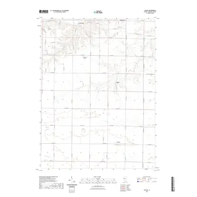
2021 Map of Colusa
USGS Topo · Published 2021About this map
Pontoosuc and Colusa anchor this rural Hancock County landscape, where the prairie is dissected by numerous drainages flowing toward the Mississippi River. The 2021 survey reveals a grid-dominated agricultural layout defined by an extensive network of county roads like CO Hwy 2 and E Co Rd 2700. For genealogists, the map is remarkably dense with family-named burial grounds, including Tull Cem, Myers Cem, and Byler Cem, which serve as quiet landmarks of the region's early settlement. The presence of Rhea RLA Airport north of Colusa adds a modern aviation element to the traditional farming district. Waterways such as Camp Cr, Grove Cr, and Spillman Cr meander through the townships, while the southern settlement of Adrian sits atop a rise between the headwaters of Deer Cr and Sheridan Cr. This modern edition provides a clear view of the rural infrastructure and land use in western Illinois.
Find a feature on this map
54 named features on this map. Tap any name to fly to it.
Don’t see what you’re looking for? This feature index may not catch every label — zoom into the map to look around manually.
Map Details
Editions of this 2021 Colusa Map
This is the sole edition of this map. No revisions or reprints were ever made.
Other maps of this area

1932 · Lomax
USGS Topo · 1:62,500

1933 · Carthage
USGS Topo · 1:62,500

1936 · Keokuk
USGS Topo · 1:62,500

1936 · Fort Madison
USGS Topo · 1:62,500

1937 · Carthage
USGS Topo · 1:62,500

1937 · Lomax
USGS Topo · 1:62,500

1950 · Keokuk
USGS Topo · 1:62,500

1958 · Burlington
USGS Topo · 1:250,000

1961 · Burlington
USGS Topo · 1:250,000

1963 · Burlington
USGS Topo · 1:250,000