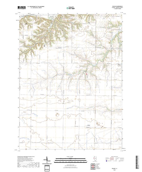
2024 Map of Colusa
USGS Topo · Published 2024About this map
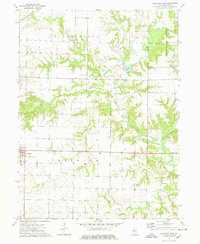
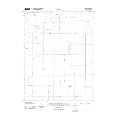
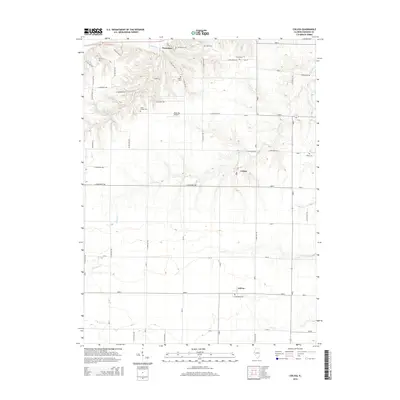
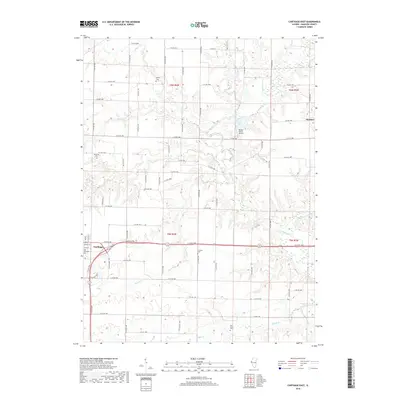
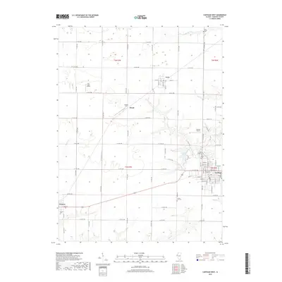
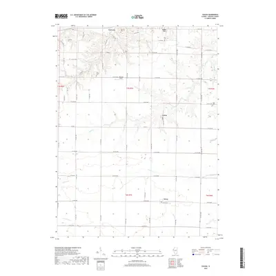
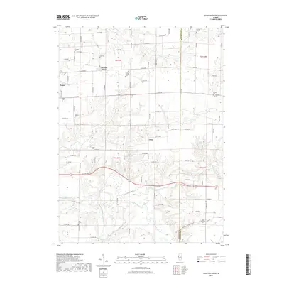
Pontoosuc and Colusa anchor this rural landscape in Hancock County, where the terrain is defined by a dense network of winding waterways. The northern reaches are carved by Spillman Creek and Opossum Creek, while the central and southern sections are drained by Camp Creek, Tilton Creek, and Grove Creek. This drainage pattern influenced the placement of early settlements and family cemeteries that dot the high ground between the draws.
Find a feature on this map
55 named features on this map. Tap any name to fly to it.
Don’t see what you’re looking for? This feature index may not catch every label — zoom into the map to look around manually.
Map Details
Editions of this 2024 Colusa Map
This is the sole edition of this map. No revisions or reprints were ever made.
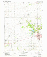
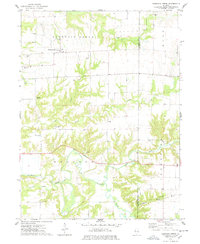
Historical Maps of Dallas City Through Time
36 maps found
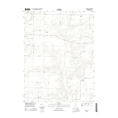
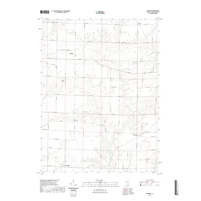
1964 Burnside
Hancock County, IL
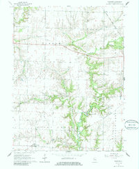
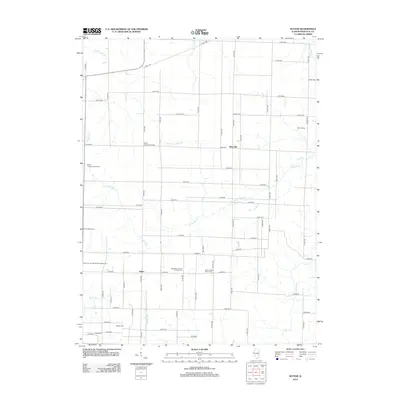
1964 Colusa
Hancock County, IL
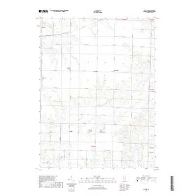
1964 Sutter
Hancock County, IL
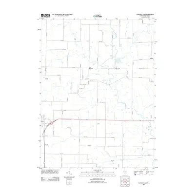
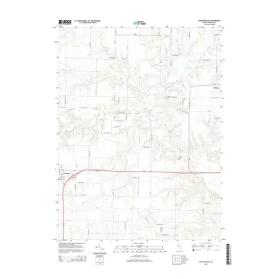
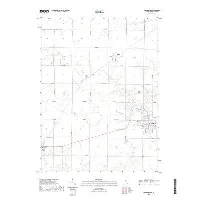
1974 Carthage East
Hancock County, IL
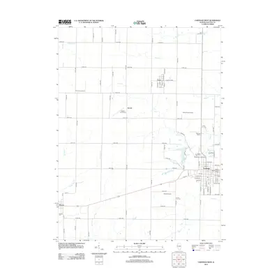
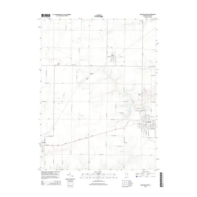
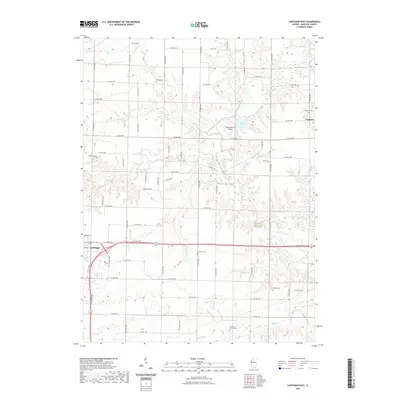
1974 Carthage West
Hancock County, IL
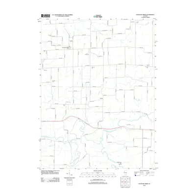
1974 Fountain Green
Hancock County, IL
2012 Burnside
Hancock County, IL
2012 Carthage East
Hancock County, IL
2012 Carthage West
Hancock County, IL
2012 Colusa
Hancock County, IL
2012 Fountain Green
Hancock County, IL
2012 Sutter
Hancock County, IL
2015 Burnside
Hancock County, IL
2015 Carthage East
Hancock County, IL
2015 Carthage West
Hancock County, IL
2015 Colusa
Hancock County, IL
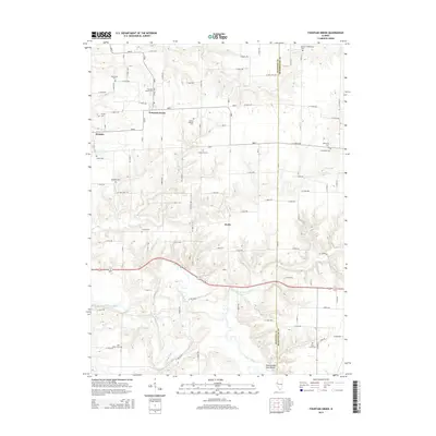
2015 Fountain Green
Hancock County, IL
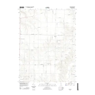
2015 Sutter
Hancock County, IL
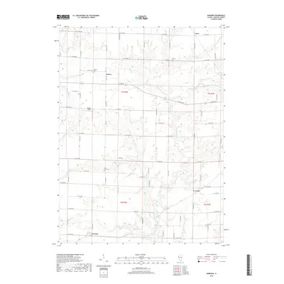
2018 Burnside
Hancock County, IL
2018 Carthage East
Hancock County, IL
2018 Carthage West
Hancock County, IL
2018 Colusa
Hancock County, IL
2018 Fountain Green
Hancock County, IL
2018 Sutter
Hancock County, IL
2021 Burnside
Hancock County, IL
2021 Carthage East
Hancock County, IL
2021 Carthage West
Hancock County, IL
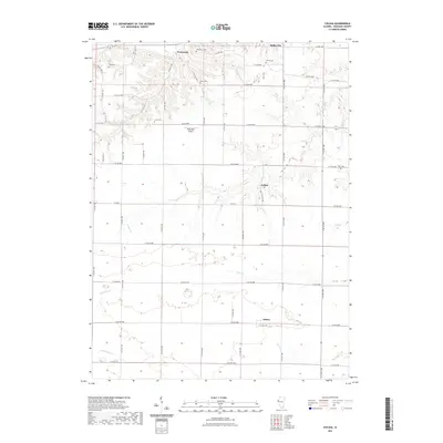
2021 Colusa
Hancock County, IL
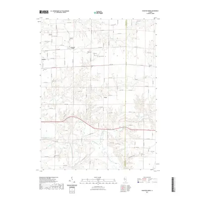
2021 Fountain Green
Hancock County, IL
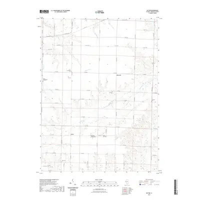
2021 Sutter
Hancock County, IL
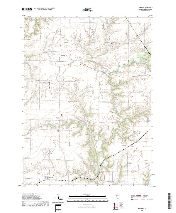
2024 Burnside
Hancock County, IL
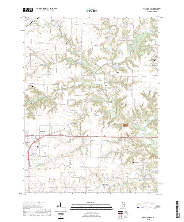
2024 Carthage East
Hancock County, IL
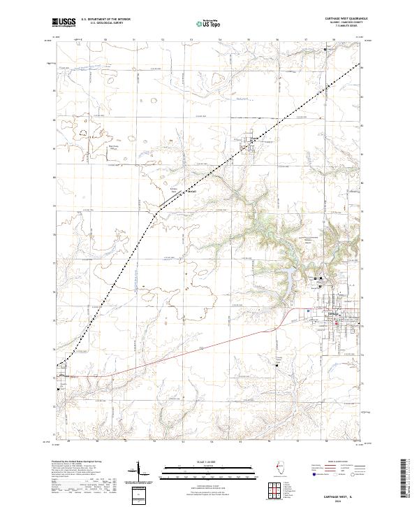
2024 Carthage West
Hancock County, IL
2024 Colusa
Hancock County, IL
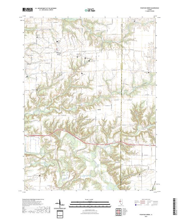
2024 Fountain Green
Hancock County, IL
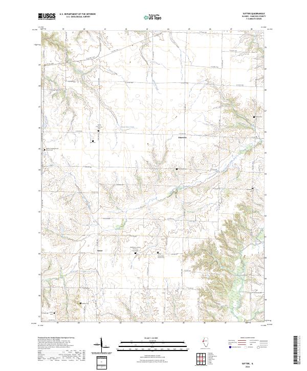
2024 Sutter
Hancock County, IL