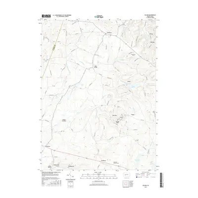
2016 Map of Colver
USGS Topo · Published 2016About this map
Colver and its neighboring coal-patch settlements are central to this 21st-century landscape in Cambria County. The map details the grid-like residential layouts of Nine Row and Twenty Row within Colver, as well as the nearby communities of Nicktown, Twin Rocks, and Bakerton. This region, situated near the headwaters of the W Br Susquehanna River, demonstrates a classic Pennsylvania industrial pattern where worker housing and local infrastructure are concentrated along the ridges and valley slopes.
Find a feature on this map
91 named features on this map. Tap any name to fly to it.
Don’t see what you’re looking for? This feature index may not catch every label — zoom into the map to look around manually.
Map Details
Editions of this 2016 Colver Map
This is the sole edition of this map. No revisions or reprints were ever made.
Other maps of this area

1902 · Ebensburg
USGS Topo · 1:62,500

1902 · Patton
USGS Topo · 1:62,500

1902 · Barnesboro
USGS Topo · 1:62,500

1904 · Barnesboro
USGS Topo · 1:62,500

1904 · Patton
USGS Topo · 1:62,500

1904 · Ebensburg
USGS Topo · 1:62,500

1904 · Johnstown
USGS Topo · 1:62,500

1907 · Johnstown
USGS Topo · 1:62,500

1943 · Punxsutawney
USGS Topo · 1:125,000

1953 · Pittsburgh
USGS Topo · 1:250,000
Featured Places
- Bakersville, Cambria Township
- Pine Township, PA
- Twenty Row, Cambria Township
- Nine Row, Cambria Township
- Nicktown, Barr Township