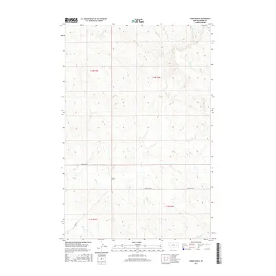
2017 Map of Combs Ranch
USGS Topo · Published 2017About this map
Combs Ranch sits as a primary landmark in this remote section of Prairie County, where the landscape is defined by an intricate network of drainage systems. The terrain is deeply etched by numerous waterways including Whites Cr, Cherry Cr, and Ash Cr, which flow through the varied topography of the Big Dry Creek drainage basin. The sparse transportation network is anchored by Cherry Creek Rd and the aptly named Deadman Rd, which cross the township boundaries of T13N and T14N.
Find a feature on this map
14 named features on this map. Tap any name to fly to it.
Don’t see what you’re looking for? This feature index may not catch every label — zoom into the map to look around manually.
Map Details
Editions of this 2017 Combs Ranch Map
This is the sole edition of this map. No revisions or reprints were ever made.
Other maps of this area

1953 · Miles City
USGS Topo · 1:250,000

1954 · Jordan
USGS Topo · 1:250,000

1954 · Forsyth
USGS Topo · 1:250,000

1954 · Glendive
USGS Topo · 1:250,000

1956 · Jordan
USGS Topo · 1:250,000

1957 · Miles City
USGS Topo · 1:250,000

1957 · Glendive
USGS Topo · 1:250,000

1957 · Forsyth
USGS Topo · 1:250,000

1958 · Miles City
USGS Topo · 1:250,000

1958 · Jordan
USGS Topo · 1:250,000