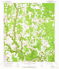
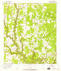
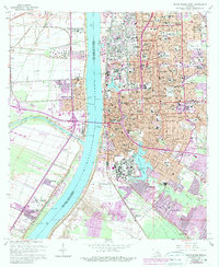
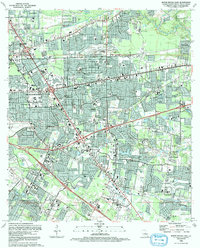
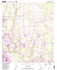
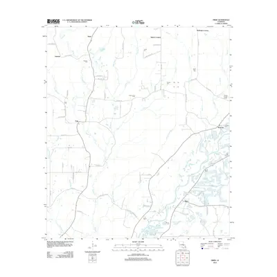
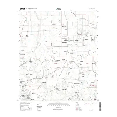
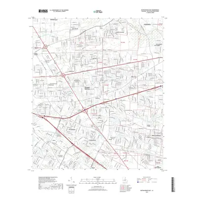
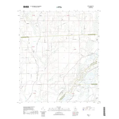
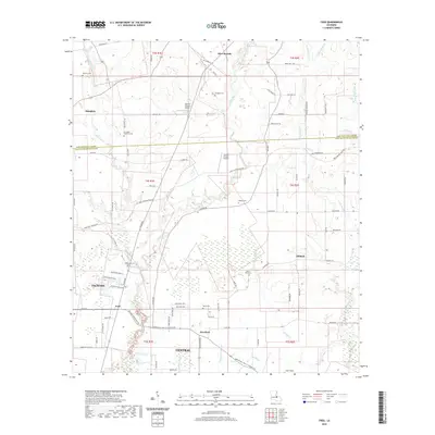
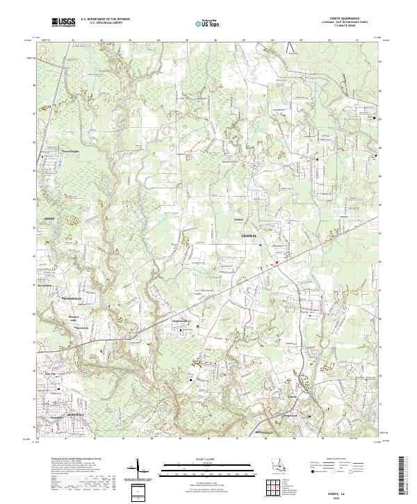
1962 Map of Comite
USGS Topo · Published 1964About this map
The Comite River and its complex network of tributaries, including Blackwater Bayou and Beaver Bayou, dominate this landscape just north of Baton Rouge. At this time in the early 1960s, the transition from rural agricultural land to residential developments is visible in the emergence of Brown Heights and Zion City. Local education and community life center on sites like Glen Oaks High Sch and numerous country churches, such as Shady Grove Ch and Little Rock Ch.
Find a feature on this map
51 named features on this map. Tap any name to fly to it.
Don’t see what you’re looking for? This feature index may not catch every label — zoom into the map to look around manually.
Map Details
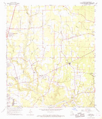
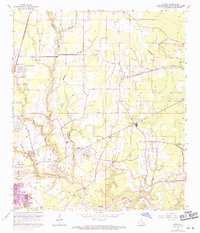
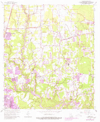
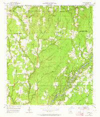
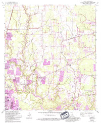
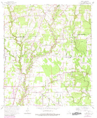
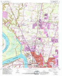
Editions of this 1962 Comite Map
5 editions found
Historical Maps of Baton Rouge Through Time
50 maps found

1942 Pride
East Baton Rouge Parish, LA

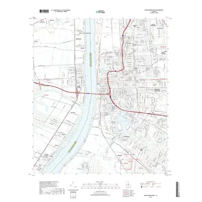
1953 Baton Rouge East
East Baton Rouge Parish, LA

1953 Baton Rouge West
East Baton Rouge Parish, LA
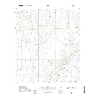
1953 Comite
East Baton Rouge Parish, LA

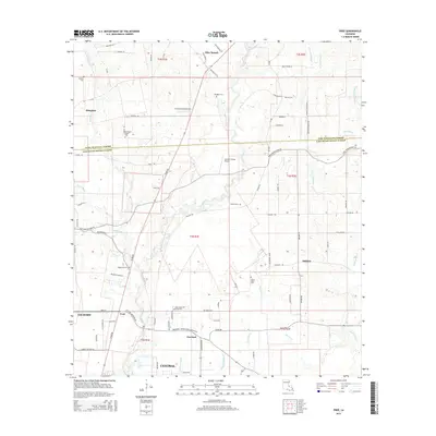
1954 Fred
East Baton Rouge Parish, LA
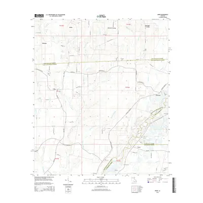
1954 Pride
East Baton Rouge Parish, LA

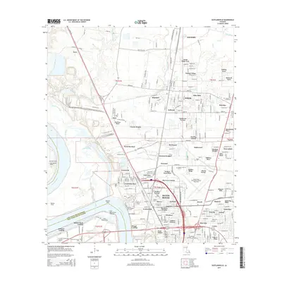
1954 Scotlandville
East Baton Rouge Parish, LA
1962 Comite
East Baton Rouge Parish, LA
1963 Baton Rouge East
East Baton Rouge Parish, LA
1963 Baton Rouge West
East Baton Rouge Parish, LA
1963 Fred
East Baton Rouge Parish, LA
1963 Scotlandville
East Baton Rouge Parish, LA
1980 Pride
East Baton Rouge Parish, LA
1992 Baton Rouge East
East Baton Rouge Parish, LA
1992 Baton Rouge West
East Baton Rouge Parish, LA
1995 Baton Rouge East
East Baton Rouge Parish, LA
1995 Baton Rouge West
East Baton Rouge Parish, LA

1995 Scotlandville
East Baton Rouge Parish, LA
1996 Comite
East Baton Rouge Parish, LA

1998 Fred
East Baton Rouge Parish, LA
2012 Baton Rouge East
East Baton Rouge Parish, LA

2012 Baton Rouge West
East Baton Rouge Parish, LA
2012 Comite
East Baton Rouge Parish, LA
2012 Fred
East Baton Rouge Parish, LA
2012 Pride
East Baton Rouge Parish, LA
2012 Scotlandville
East Baton Rouge Parish, LA
2015 Baton Rouge East
East Baton Rouge Parish, LA
2015 Baton Rouge West
East Baton Rouge Parish, LA
2015 Comite
East Baton Rouge Parish, LA
2015 Fred
East Baton Rouge Parish, LA
2015 Pride
East Baton Rouge Parish, LA
2015 Scotlandville
East Baton Rouge Parish, LA
2018 Baton Rouge East
East Baton Rouge Parish, LA
2018 Baton Rouge West
East Baton Rouge Parish, LA
2018 Comite
East Baton Rouge Parish, LA
2018 Fred
East Baton Rouge Parish, LA
2018 Pride
East Baton Rouge Parish, LA

2018 Scotlandville
East Baton Rouge Parish, LA
2020 Baton Rouge East
East Baton Rouge Parish, LA
2020 Baton Rouge West
East Baton Rouge Parish, LA
2020 Comite
East Baton Rouge Parish, LA
2020 Fred
East Baton Rouge Parish, LA
2020 Pride
East Baton Rouge Parish, LA
2020 Scotlandville
East Baton Rouge Parish, LA
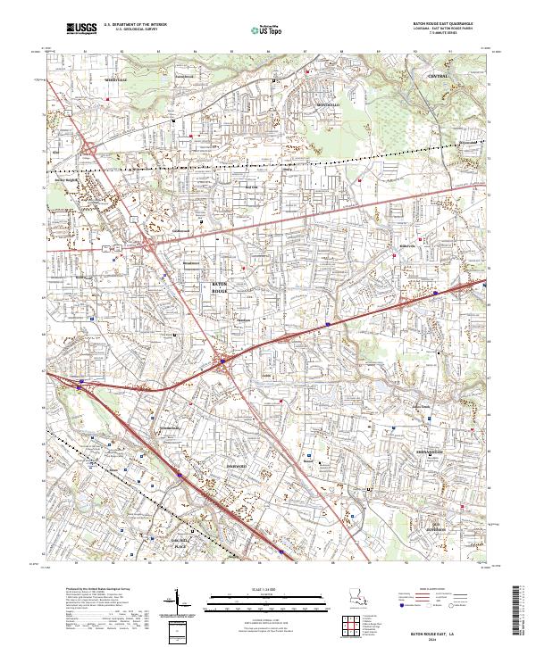
2024 Baton Rouge East
East Baton Rouge Parish, LA
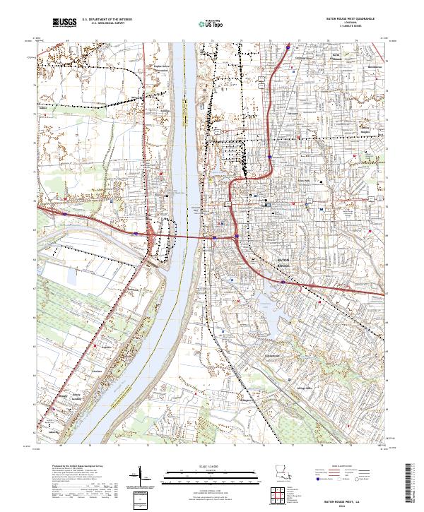
2024 Baton Rouge West
East Baton Rouge Parish, LA
2024 Comite
East Baton Rouge Parish, LA
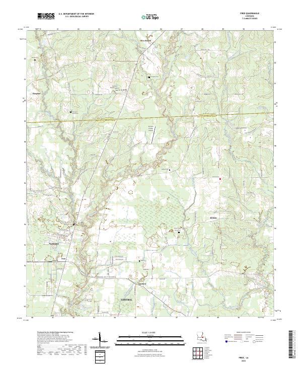
2024 Fred
East Baton Rouge Parish, LA
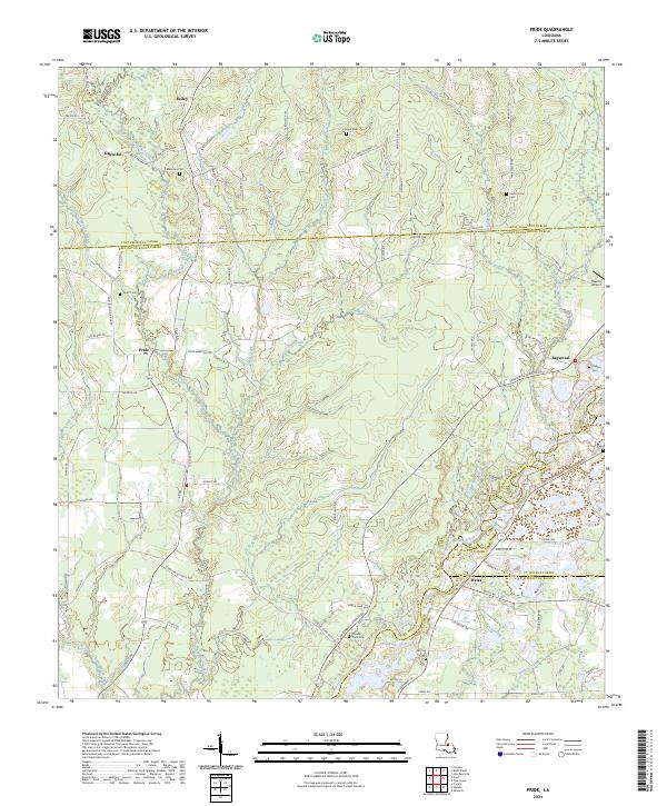
2024 Pride
East Baton Rouge Parish, LA
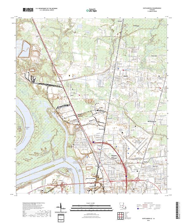
2024 Scotlandville
East Baton Rouge Parish, LA