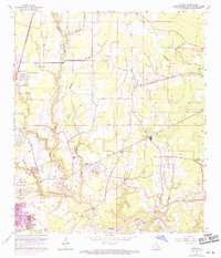
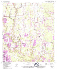
1962 Map of Comite
USGS Topo · Published 1971About this map
The Comite River and its numerous tributaries, including Blackwater Bayou and Beaver Bayou, define the landscape of East Baton Rouge Parish in this early 1960s perspective. The area shows a transition from rural land use to suburban expansion, with purple tints highlighting growth in residential pockets like Brown Heights, Tanglewood, and Zion City. The network of secondary roads, such as Sullivan Road and Wax Road, connects established community centers like Central and Puckett. Local history is deeply embedded in the numerous country churches and family burial grounds that dot the parish, including Zoar Ch, Shady Grove Ch, and Devall Cem. Educational and recreational development is evident through the presence of Glen Oaks High Sch and Greenwell Springs Park, while industrial activity is represented by several Sandpits along the riverbanks.
Find a feature on this map
50 named features on this map. Tap any name to fly to it.
Don’t see what you’re looking for? This feature index may not catch every label — zoom into the map to look around manually.
Map Details
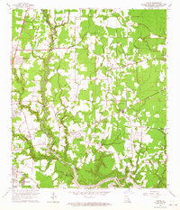
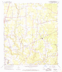
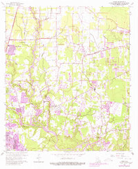
Editions of this 1962 Comite Map
5 editions found
Other maps of this area

1906 · Bayou Sara
USGS Topo · 1:125,000

1908 · Baton Rouge
USGS Topo · 1:62,500

1934 · Denham Springs
USGS Topo · 1:62,500

1939 · Zachary
USGS Topo · 1:62,500

1939 · Denham Springs
USGS Topo · 1:62,500

1939 · Baton Rouge
USGS Topo · 1:62,500

1942 · Pride
USGS Topo · 1:31,680

1942 · Watson
USGS Topo · 1:31,680

1953 · Baton Rouge West
USGS Topo · 1:24,000
1953 · Baton Rouge East
USGS Topo · 1:24,000