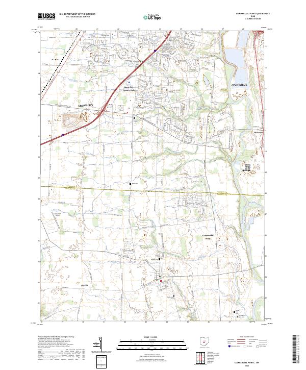
2023 Map of Commercial Point
USGS Topo · Published 2023About this map
Scioto River and Big Walnut Creek converge in this fertile corridor south of Columbus, where the border of Franklin and Pickaway counties divides the landscape. This modern survey illustrates the suburban expansion of Grove City and Commercial Point alongside deeply rooted family landmarks. Numerous small burial grounds, including the Thomas Adams, Caldwell Farm, and James Borror Farm cemeteries, indicate the long-standing agricultural heritage of the valley. Small aviation and recreation hubs like Millertime Airport and the Grove City Country Club sit adjacent to working watercourses like Grant Run and Plum Run, while the small crossroads of Matville and Shadeville maintain their distinct positions on the regional road network.
Find a feature on this map
138 named features on this map. Tap any name to fly to it.
Don’t see what you’re looking for? This feature index may not catch every label — zoom into the map to look around manually.
Map Details
Editions of this 2023 Commercial Point Map
This is the sole edition of this map. No revisions or reprints were ever made.
Other maps of this area

1911 · Era
USGS Topo · 1:62,500

1913 · Era
USGS Topo · 1:62,500

1914 · Circleville
USGS Topo · 1:62,500

1923 · West Columbus
USGS Topo · 1:62,500

1925 · East Columbus
USGS Topo · 1:62,500

1925 · West Columbus
USGS Topo · 1:62,500

1943 · Era
USGS Topo · 1:62,500

1943 · Circleville
USGS Topo · 1:62,500

1943 · East Columbus
USGS Topo · 1:62,500

1947 · Columbus
USGS Topo · 1:250,000