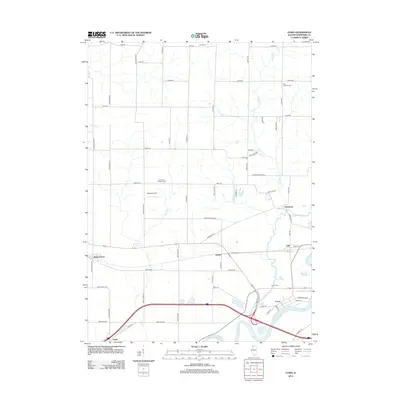
2012 Map of Como
USGS Topo · Published 2012About this map
The Rock River carves through the southern landscape of this Whiteside County region, anchoring the settlement of Como and its adjacent Como Cem. This 2012 snapshot illustrates a predominantly agricultural interior defined by a grid of rural roads like Coleta Rd and Emerson Rd, which connect small communities and family-named landmarks. The map documents several historically significant burial grounds, including Peugh Cem in the north and Our Savior Lutheran Cem further south, providing essential data for genealogical research.
Find a feature on this map
62 named features on this map. Tap any name to fly to it.
Don’t see what you’re looking for? This feature index may not catch every label — zoom into the map to look around manually.
Map Details
Editions of this 2012 Como Map
This is the sole edition of this map. No revisions or reprints were ever made.
Other maps of this area

1930 · Woodsung
USGS Topo · 1:48,000

1932 · Prophetstown
USGS Topo · 1:48,000

1934 · Morrison
USGS Topo · 1:48,000

1936 · Prophetstown
USGS Topo · 1:62,500

1940 · Morrison
USGS Topo · 1:62,500

1946 · Sterling
USGS Topo · 1:62,500

1948 · Sterling
USGS Topo · 1:62,500

1949 · Walnut
USGS Topo · 1:62,500

1958 · Aurora
USGS Topo · 1:250,000

1961 · Aurora
USGS Topo · 1:250,000