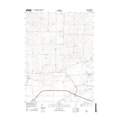
2015 Map of Como
USGS Topo · Published 2015About this map
The Rock River corridor defines the southern landscape of this Whiteside County region, where the historic settlement of Como sits near the river's bend. This modern survey illustrates the transition from the concentrated urban edge of Sterling in the east to the expansive agricultural grid of the interior. Smaller rural communities like Galt, Agnew, and Emerson are situated along key transportation routes, reflecting the area's long-standing connection between local farming and regional transit hubs.
Find a feature on this map
61 named features on this map. Tap any name to fly to it.
Don’t see what you’re looking for? This feature index may not catch every label — zoom into the map to look around manually.
Map Details
Editions of this 2015 Como Map
This is the sole edition of this map. No revisions or reprints were ever made.
Other maps of this area

1930 · Woodsung
USGS Topo · 1:48,000

1932 · Prophetstown
USGS Topo · 1:48,000

1934 · Morrison
USGS Topo · 1:48,000

1936 · Prophetstown
USGS Topo · 1:62,500

1940 · Morrison
USGS Topo · 1:62,500

1946 · Sterling
USGS Topo · 1:62,500

1948 · Sterling
USGS Topo · 1:62,500

1949 · Walnut
USGS Topo · 1:62,500

1958 · Aurora
USGS Topo · 1:250,000

1961 · Aurora
USGS Topo · 1:250,000