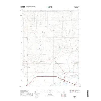
2021 Map of Como
USGS Topo · Published 2021About this map
Rock River and its tributary Elkhorn Creek define the landscape of this portion of Whiteside County, marking a terrain where industry and agriculture meet along the waterways. The settlement of Como sits near the riverbanks, while the larger center of Sterling appears on the eastern edge. A network of rural cemeteries, including Hickory Grove Cem, Peugh Cem, and Our Savior Lutheran Cem, are scattered across the township, providing a clear record of local family history and early community centers. The presence of Stutzke Airport and several small settlements like Galt, Agnew, and Emerson illustrates the mid-century infrastructure and rural density that supported the region's growth. The map captures a detailed snapshot of the road network, including Rte 30, as it navigates the creeks and rolling elevations that characterize this northern Illinois landscape.
Find a feature on this map
66 named features on this map. Tap any name to fly to it.
Don’t see what you’re looking for? This feature index may not catch every label — zoom into the map to look around manually.
Map Details
Editions of this 2021 Como Map
This is the sole edition of this map. No revisions or reprints were ever made.
Other maps of this area

1930 · Woodsung
USGS Topo · 1:48,000

1932 · Prophetstown
USGS Topo · 1:48,000

1934 · Morrison
USGS Topo · 1:48,000

1936 · Prophetstown
USGS Topo · 1:62,500

1940 · Morrison
USGS Topo · 1:62,500

1946 · Sterling
USGS Topo · 1:62,500

1948 · Sterling
USGS Topo · 1:62,500

1949 · Walnut
USGS Topo · 1:62,500

1958 · Aurora
USGS Topo · 1:250,000

1961 · Aurora
USGS Topo · 1:250,000