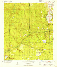
1952 Map of Compass Lake
USGS Topo · Published 1953About this map
The Atlanta and St Andrews Bay railroad anchors the eastern corridor of this Florida panhandle landscape, tracing a path through the settlement of Compass Lake and down toward Betts. This 1952 topographic study highlights a region defined by its complex hydrology, where the Econfina River and Sweetwater Creek wind through the interior, fed by numerous branches like Sewell Branch and Branning Branch. The map captures a transition in land use, showing an Airfield south of Betts and a Lookout Tower positioned near the northern shore of the lake. Local landmarks such as Sandy Mount Ch provide focal points for community history, while the convergence of Washington, Bay, Jackson, and Calhoun counties illustrates the complex administrative boundaries of the area. Significant wetland features like Cypress Swamp and Turtle Pond dominate the undeveloped sections, providing a clear record of the natural terrain before modern expansion.
Find a feature on this map
28 named features on this map. Tap any name to fly to it.
Don’t see what you’re looking for? This feature index may not catch every label — zoom into the map to look around manually.
Map Details
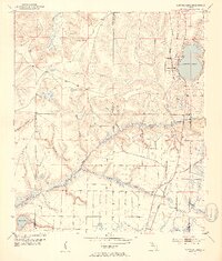
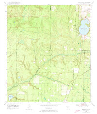
Editions of this 1952 Compass Lake Map
3 editions found
Other maps of this area

1944 · Bennett
USGS Topo · 1:24,000

1945 · Juniper Creek
USGS Topo · 1:31,680

1945 · Bennett
USGS Topo · 1:31,680

1945 · Fountain
USGS Topo · 1:31,680

1950 · Wausau
USGS Topo · 1:24,000

1950 · Gap Lake
USGS Topo · 1:24,000

1951 · Wausau
USGS Topo · 1:24,000

1951 · Gap Pond
USGS Topo · 1:24,000

1952 · Kynesville
USGS Topo · 1:24,000

1952 · Alford SE
USGS Topo · 1:24,000