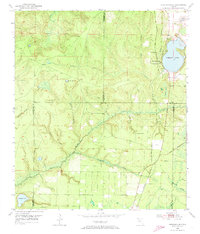
1952 Map of Compass Lake
USGS Topo · Published 1973About this map
Compass Lake serves as the focal point of this 1950s interior Florida landscape, where the borders of Washington, Jackson, Bay, and Calhoun counties converge. The settlement of Compass Lake is situated along the eastern shore, positioned near a Lookout Tower and the critical corridor of the Atlanta and St Andrews Bay railroad. This rail line provided an essential link through the piney woods and swamps of the Panhandle, facilitating the movement of timber and goods between the northern counties and the coast.
Find a feature on this map
25 named features on this map. Tap any name to fly to it.
Don’t see what you’re looking for? This feature index may not catch every label — zoom into the map to look around manually.
Map Details
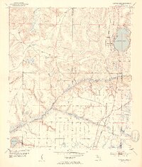
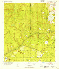
Editions of this 1952 Compass Lake Map
3 editions found
Other maps of this area

1944 · Bennett
USGS Topo · 1:24,000

1945 · Juniper Creek
USGS Topo · 1:31,680

1945 · Bennett
USGS Topo · 1:31,680

1945 · Fountain
USGS Topo · 1:31,680

1950 · Wausau
USGS Topo · 1:24,000

1950 · Gap Lake
USGS Topo · 1:24,000

1951 · Wausau
USGS Topo · 1:24,000

1951 · Gap Pond
USGS Topo · 1:24,000

1952 · Kynesville
USGS Topo · 1:24,000

1952 · Alford SE
USGS Topo · 1:24,000