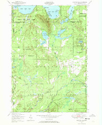
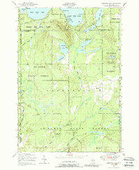
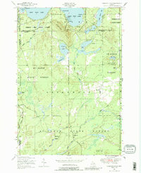
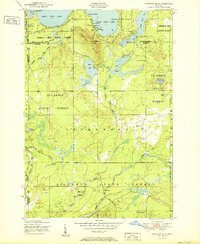
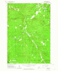
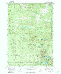
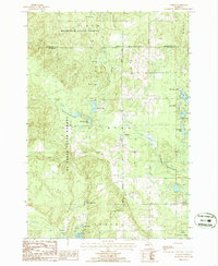
1950 Map of Comstock Hills
USGS Topo · Published 1973This historical map portrays the area of Comstock Hills in 1950, primarily covering Oscoda County as well as portions of Crawford County, Montmorency County, and Otsego County. Featuring a scale of 1:24000, this map provides a highly detailed snapshot of the terrain, roads, buildings, counties, and historical landmarks in the Comstock Hills region at the time. Published in 1973, it is one of 3 known editions of this map due to revisions or reprints.
Find a feature on this map
47 named features on this map. Tap any name to fly to it.
Don’t see what you’re looking for? This feature index may not catch every label — zoom into the map to look around manually.
Map Details
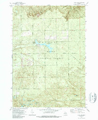
Editions of this 1950 Comstock Hills Map
3 editions found
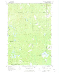
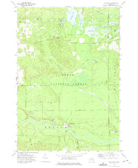
Historical Maps of Oscoda County Through Time
12 maps found
1950 Comstock Hills
Oscoda County, MI
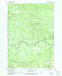
1951 Comstock Hills
Oscoda County, MI
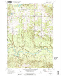
1963 Luzerne
Oscoda County, MI
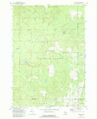
1963 Red Oak
Oscoda County, MI
1972 Fairview
Oscoda County, MI
1972 Goodar
Oscoda County, MI
1972 Island Lake
Oscoda County, MI
1972 Mack Lake
Oscoda County, MI
1972 McCollum Lake
Oscoda County, MI
1972 McKinley
Oscoda County, MI
1986 Comins
Oscoda County, MI
1986 Oak Lake
Oscoda County, MI
Featured Locations
- Charlton Township, MI
- Lovells Township, MI
- Elmer Township, MI
- Birchwood Beach, Albert Township
- Garland Village, Albert Township