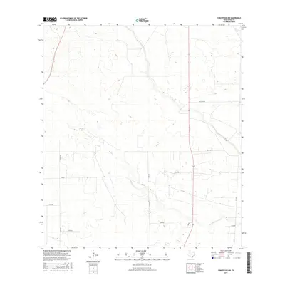
2016 Map of Concepcion NW
USGS Topo · Published 2016About this map
Macho Cr and Los Olmos Cr define the drainage patterns of this South Texas ranchland in the mid-2010s. The landscape is dominated by a grid of rural routes, including Fm 716 and Ranch Rd 1345, which provide the primary access to the scattered homesteads and pastures of Duval County. The presence of Vicinity Cem near the southern boundary suggests a historical focal point for local families in an otherwise sparsely populated area. In the southwestern corner, Cibolo Cr crosses the terrain, further illustrating the seasonal waterways that shape the region's geography. This map offers a clear view of the ranching infrastructure, from the extensive network of county roads like Co Rd 260 to the established Fence Line demarcating property boundaries in the east.
Find a feature on this map
17 named features on this map. Tap any name to fly to it.
Don’t see what you’re looking for? This feature index may not catch every label — zoom into the map to look around manually.
Map Details
Editions of this 2016 Concepcion NW Map
This is the sole edition of this map. No revisions or reprints were ever made.
Other maps of this area

1921 · Falfurrias
USGS Topo · 1:125,000

1956 · Benavides
USGS Topo · 1:62,500

1956 · Laredo
USGS Topo · 1:250,000

1967 · Hebbronville SE
USGS Topo · 1:24,000

1967 · Parrilla Creek SE
USGS Topo · 1:24,000

1967 · Realitos
USGS Topo · 1:24,000

1968 · Concepcion
USGS Topo · 1:24,000

1968 · San Jose
USGS Topo · 1:24,000

1968 · Benavides
USGS Topo · 1:24,000

1968 · Concepcion NW
USGS Topo · 1:24,000