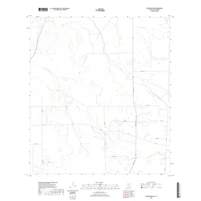
2019 Map of Concepcion NW
USGS Topo · Published 2019About this map
Macho Cr and Los Olmos Cr drain through this pocket of Duval County, carving subtle paths through the South Texas brush country. The landscape is defined by its wide, open spaces and a network of rural routes, including FM 716 and Ranch Rd 1345. These roads link isolated ranches and homesteads to the broader region, reflecting a modern cattle-ranching economy that still relies on these established paths through the scrubland. A specific point of local heritage is found at the Vicinity Cem, situated near the junction of several county roads. The map captures the quiet transition of water across the semi-arid terrain, where Cibolo Cr marks the southwestern reaches of the quadrangle.
Find a feature on this map
18 named features on this map. Tap any name to fly to it.
Don’t see what you’re looking for? This feature index may not catch every label — zoom into the map to look around manually.
Map Details
Editions of this 2019 Concepcion NW Map
This is the sole edition of this map. No revisions or reprints were ever made.
Other maps of this area

1921 · Falfurrias
USGS Topo · 1:125,000

1956 · Benavides
USGS Topo · 1:62,500

1956 · Laredo
USGS Topo · 1:250,000

1967 · Hebbronville SE
USGS Topo · 1:24,000

1967 · Parrilla Creek SE
USGS Topo · 1:24,000

1967 · Realitos
USGS Topo · 1:24,000

1968 · Concepcion
USGS Topo · 1:24,000

1968 · San Jose
USGS Topo · 1:24,000

1968 · Benavides
USGS Topo · 1:24,000

1968 · Concepcion NW
USGS Topo · 1:24,000