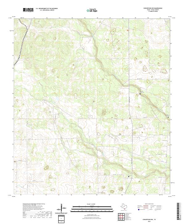
2022 Map of Concepcion NW
USGS Topo · Published 2022About this map
Los Olmos Cr and Macho Cr drain this South Texas landscape in Duval County, carving subtle paths through the brush country. The map documents several small burial sites that serve as vital links to the area's ranching heritage, including the Barranco Blanco Cem and the Yzaguirre Ranch Cem. A network of ranch-to-market and county roads, such as FM 716 and Ranch Rd 1345, provides the primary infrastructure for this rural expanse. In the southern portion of the quadrangle, Vicinity Cem is positioned near the junction of Macho Creek and the county road system, illustrating the localized nature of family and community landmarks in this sparsely populated region. The presence of a prominent Fence Line and various ranch roads like Co RD 280 underscores the area's continued use for large-scale land management and livestock operations.
Find a feature on this map
20 named features on this map. Tap any name to fly to it.
Don’t see what you’re looking for? This feature index may not catch every label — zoom into the map to look around manually.
Map Details
Editions of this 2022 Concepcion NW Map
This is the sole edition of this map. No revisions or reprints were ever made.
Other maps of this area

1921 · Falfurrias
USGS Topo · 1:125,000

1956 · Benavides
USGS Topo · 1:62,500

1956 · Laredo
USGS Topo · 1:250,000

1967 · Hebbronville SE
USGS Topo · 1:24,000

1967 · Parrilla Creek SE
USGS Topo · 1:24,000

1967 · Realitos
USGS Topo · 1:24,000

1968 · Concepcion
USGS Topo · 1:24,000

1968 · San Jose
USGS Topo · 1:24,000

1968 · Benavides
USGS Topo · 1:24,000

1968 · Concepcion NW
USGS Topo · 1:24,000