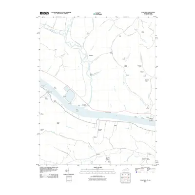
2010 Map of Concord
USGS Topo · Published 2010About this map
The Ohio River forms a wide sweep across this landscape, defining the border between Lewis County, Kentucky, and Adams County, Ohio. The riverfront is dotted with traditional river access points such as Lockhart Landing, Stouts Landing, and Grimes Landing, alongside the mid-river Brush Creek Island. On the Kentucky shore, the town of Concord sits at the mouth of Sycamore Creek, while further east, Carrs and Queens anchor the interior hollows. The Ohio side features the settlement of Stout, complete with its Stout Post Office and a local Rome Boat Launch Ramp.
Find a feature on this map
91 named features on this map. Tap any name to fly to it.
Don’t see what you’re looking for? This feature index may not catch every label — zoom into the map to look around manually.
Map Details
Editions of this 2010 Concord Map
This is the sole edition of this map. No revisions or reprints were ever made.
Other maps of this area

1916 · Peebles
USGS Topo · 1:62,500

1918 · Peebles
USGS Topo · 1:62,500

1918 · Seaman
USGS Topo · 1:62,500

1919 · Vanceburg
USGS Topo · 1:62,500

1929 · Springdale
USGS Topo · 1:48,000

1935 · Springdale
USGS Topo · 1:62,500

1949 · Vanceburg
USGS Topo · 1:62,500

1949 · Buena Vista
USGS Topo · 1:24,000

1949 · Vanceburg
USGS Topo · 1:24,000

1949 · Concord
USGS Topo · 1:24,000