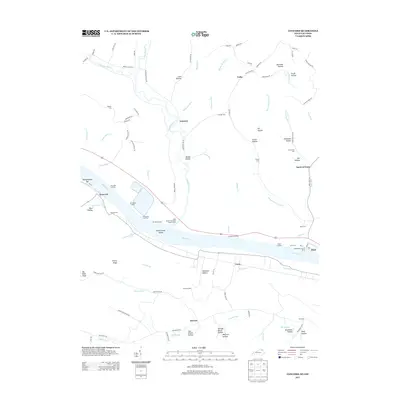
2013 Map of Concord
USGS Topo · Published 2013About this map
The Ohio River corridor defines the landscape of this Lewis County region, where river-dependent commerce is evidenced by a series of riverside landings including Jerry Ellis Landing, Stevensons Landing, and Stouts Landing. The terrain is characterized by a dense network of hollows such as Cave Hollow and Fairmont Hollow, with the small settlements of Concord, Gemmer, and Tulip serving as local hubs. Many family-named landmarks are visible throughout the drainage basins of Ohio Brush Creek and Quicks Run.
Find a feature on this map
109 named features on this map. Tap any name to fly to it.
Don’t see what you’re looking for? This feature index may not catch every label — zoom into the map to look around manually.
Map Details
Editions of this 2013 Concord Map
This is the sole edition of this map. No revisions or reprints were ever made.
Other maps of this area

1916 · Peebles
USGS Topo · 1:62,500

1918 · Peebles
USGS Topo · 1:62,500

1918 · Seaman
USGS Topo · 1:62,500

1919 · Vanceburg
USGS Topo · 1:62,500

1929 · Springdale
USGS Topo · 1:48,000

1935 · Springdale
USGS Topo · 1:62,500

1949 · Vanceburg
USGS Topo · 1:62,500

1949 · Buena Vista
USGS Topo · 1:24,000

1949 · Vanceburg
USGS Topo · 1:24,000

1949 · Concord
USGS Topo · 1:24,000