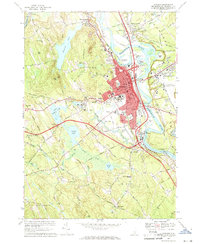
1967 Map of Concord
USGS Topo · Published 1971About this map
The capital city of Concord serves as the focal point of this late 1960s study, where the Merrimack River loops through the landscape past Horseshoe Island and Bradleys Island. The city's institutional identity is clearly defined by the State House, County Courthouse, and the State Hospital complex. In the wooded hills to the west, the campus of St Pauls Sch is situated near Turkey Pond, while the northern ridge of Rattlesnake Hill overlooks the State Prison. This era shows the city expanding toward Concord Heights and the Concord Municipal Airport to the east, while the southern reaches near Bow Mills and Bow Junction demonstrate the influence of the Everett Turnpike and the Boston and Maine railroad on New Hampshire's industrial and transit corridors. Notable local landmarks include the Carmelite Monastery and the extensive Walker State Forest.
Find a feature on this map
121 named features on this map. Tap any name to fly to it.
Don’t see what you’re looking for? This feature index may not catch every label — zoom into the map to look around manually.
Map Details
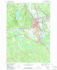
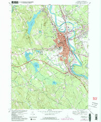
Editions of this 1967 Concord Map
3 editions found
Other maps of this area

1919 · Gilmanton
USGS Topo · 1:62,500

1921 · Suncook
USGS Topo · 1:62,500

1927 · Concord
USGS Topo · 1:62,500

1927 · Penacook
USGS Topo · 1:62,500

1927 · Gilmanton
USGS Topo · 1:62,500

1944 · Suncook
USGS Topo · 1:62,500

1949 · Portland
USGS Topo · 1:250,000

1949 · Concord
USGS Topo · 1:62,500

1956 · Penacook
USGS Topo · 1:62,500

1956 · Portland
USGS Topo · 1:250,000