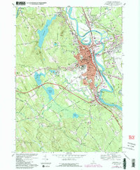
1967 Map of Concord
USGS Topo · Published 1985About this map
The Merrimack River serves as the central artery for this capital city region, defining the industrial and civic layout of Concord and its outlying villages. The 1967 survey, updated with 1980s data, reveals the dense institutional presence north of the city center, including the State Prison and the extensive grounds of the State Hospital. The landscape transitions from the urbanized core near Horseshoe Pond to the institutional and educational corridors of the St Pauls Sch campus along the Turkey River.
Find a feature on this map
85 named features on this map. Tap any name to fly to it.
Don’t see what you’re looking for? This feature index may not catch every label — zoom into the map to look around manually.
Map Details
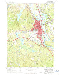
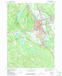
Editions of this 1967 Concord Map
3 editions found
Other maps of this area

1919 · Gilmanton
USGS Topo · 1:62,500

1921 · Suncook
USGS Topo · 1:62,500

1927 · Concord
USGS Topo · 1:62,500

1927 · Penacook
USGS Topo · 1:62,500

1927 · Gilmanton
USGS Topo · 1:62,500

1944 · Suncook
USGS Topo · 1:62,500

1949 · Portland
USGS Topo · 1:250,000

1949 · Concord
USGS Topo · 1:62,500

1956 · Penacook
USGS Topo · 1:62,500

1956 · Portland
USGS Topo · 1:250,000