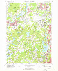
1970 Map of Concord
USGS Topo · Published 1972About this map
The Old North Bridge and the nearby Minute Man Mon stand as central landmarks in this documentation of a landscape where American history and conservation intersect. The map details the literary and revolutionary heritage of Concord, featuring Authors Ridge and Sleepy Hollow Cemetery alongside the Revolutionary Ridge. To the south, the protected waters of Walden Pond State Res and the Sandy Pond reservoir system highlight the preservation of the area's natural environment.
Find a feature on this map
128 named features on this map. Tap any name to fly to it.
Don’t see what you’re looking for? This feature index may not catch every label — zoom into the map to look around manually.
Map Details
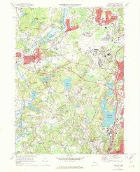
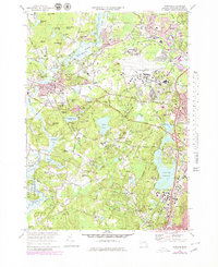
Editions of this 1970 Concord Map
3 editions found
Other maps of this area

1886 · Lawrence
USGS Topo · 1:62,500

1886 · Lowell
USGS Topo · 1:62,500

1886 · Framingham
USGS Topo · 1:62,500

1888 · Lawrence
USGS Topo · 1:62,500

1889 · Framingham
USGS Topo · 1:62,500

1893 · Lowell
USGS Topo · 1:62,500

1893 · Boston
USGS Topo · 1:62,500

1893 · Lawrence
USGS Topo · 1:62,500

1894 · Framingham
USGS Topo · 1:62,500

1903 · Boston
USGS Topo · 1:62,500