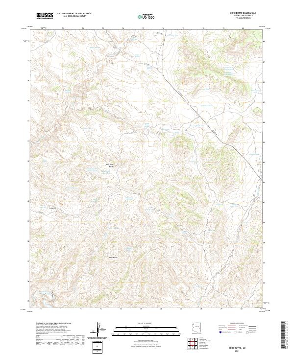
2021 Map of Cone Butte
USGS Topo · Published 2021About this map
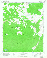
Cone Butte and Blue Rock Butte anchor this high-elevation landscape in Gila County, where the terrain drops toward the Salt River Valley in the south. The map documents an intricate network of water management features essential for high-country life, ranging from the Cemetery Tank and Apache Pond Number One to remote springs such as Wild Bull Spring and Trail House Spring. Cattle ranching and land use patterns are visible through labels like the New Cedar Drift Fence Tank and Louse Flat Tank. The presence of several family-named landmarks like the Sam Green Tank and named drainage systems like G Wash provides specific points of interest for local researchers. This modern survey reflects the continued reliance on scattered water sources across the mesas and flats, connected by remote routes including Co RD 818 and S Chief Ave.
Find a feature on this map
54 named features on this map. Tap any name to fly to it.
Don’t see what you’re looking for? This feature index may not catch every label — zoom into the map to look around manually.
Map Details
Editions of this 2021 Cone Butte Map
This is the sole edition of this map. No revisions or reprints were ever made.
Other maps of this area

1954 · Mesa
USGS Topo · 1:250,000

1957 · Mesa
USGS Topo · 1:250,000

1958 · Mesa
USGS Topo · 1:250,000

1960 · Mesa
USGS Topo · 1:250,000

1964 · Mesa
USGS Topo · 1:250,000

1966 · Popcorn Canyon
USGS Topo · 1:24,000
1966 · Forks Butte
USGS Topo · 1:24,000
1966 · Round Top Mtn
USGS Topo · 1:24,000
1966 · Carrizo
USGS Topo · 1:24,000
1966 · Cone Butte
USGS Topo · 1:24,000