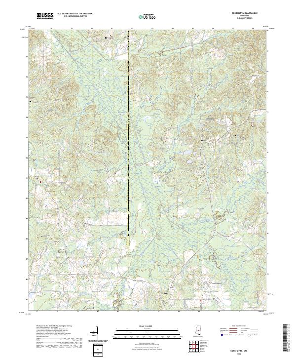
2024 Map of Conehatta
USGS Topo · Published 2024About this map
Conehatta and the surrounding timberlands of eastern Mississippi are defined by a complex network of waterways and early transit routes. The landscape is bisected by the Scott Co Newton Co line, where the natural meanders of Tuscolameta Creek and Bollybusha Creek meet engineered drainage such as the South Canal and Warrior Canal. These waterways dictate the placement of local roads like Old Jackson Rd and Newton Conehatta Rd, which connect the small settlements of Hazel and Conehatta.
Find a feature on this map
88 named features on this map. Tap any name to fly to it.
Don’t see what you’re looking for? This feature index may not catch every label — zoom into the map to look around manually.
Map Details
Editions of this 2024 Conehatta Map
This is the sole edition of this map. No revisions or reprints were ever made.
Other maps of this area

1921 · Forest
USGS Topo · 1:48,000

1922 · Forest
USGS Topo · 1:62,500

1950 · Forest
USGS Topo · 1:62,500

1952 · Forest
USGS Topo · 1:62,500

1953 · Meridian
USGS Topo · 1:250,000

1957 · Meridian
USGS Topo · 1:250,000

1965 · Meridian
USGS Topo · 1:250,000

1966 · Newton
USGS Topo · 1:24,000

1966 · Decatur NW
USGS Topo · 1:24,000
1972 · Sebastopol
USGS Topo · 1:24,000