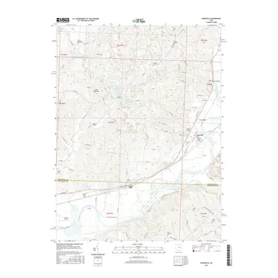
2016 Map of Conesville
USGS Topo · Published 2016About this map
The Muskingum River and Wills Creek define the southern landscape of this 2016 survey, where the border of Coshocton and Muskingum counties meets. This terrain reflects a complex history of industrial land use, marked by numerous water management sites such as the Peabody Coal Company Impoundment 0117, several Broken Aro Slurry Ponds, and the Broken Aro Watersupply Impoundment.
Find a feature on this map
115 named features on this map. Tap any name to fly to it.
Don’t see what you’re looking for? This feature index may not catch every label — zoom into the map to look around manually.
Map Details
Editions of this 2016 Conesville Map
This is the sole edition of this map. No revisions or reprints were ever made.
Other maps of this area

1908 · Conesville
USGS Topo · 1:62,500

1910 · Frazeysburg
USGS Topo · 1:62,500

1910 · Conesville
USGS Topo · 1:62,500

1913 · Brinkhaven
USGS Topo · 1:62,500

1913 · Coshocton
USGS Topo · 1:62,500

1915 · Brinkhaven
USGS Topo · 1:62,500

1915 · Coshocton
USGS Topo · 1:62,500

1943 · Coshocton
USGS Topo · 1:62,500

1950 · Marion
USGS Topo · 1:250,000

1951 · Canton
USGS Topo · 1:250,000