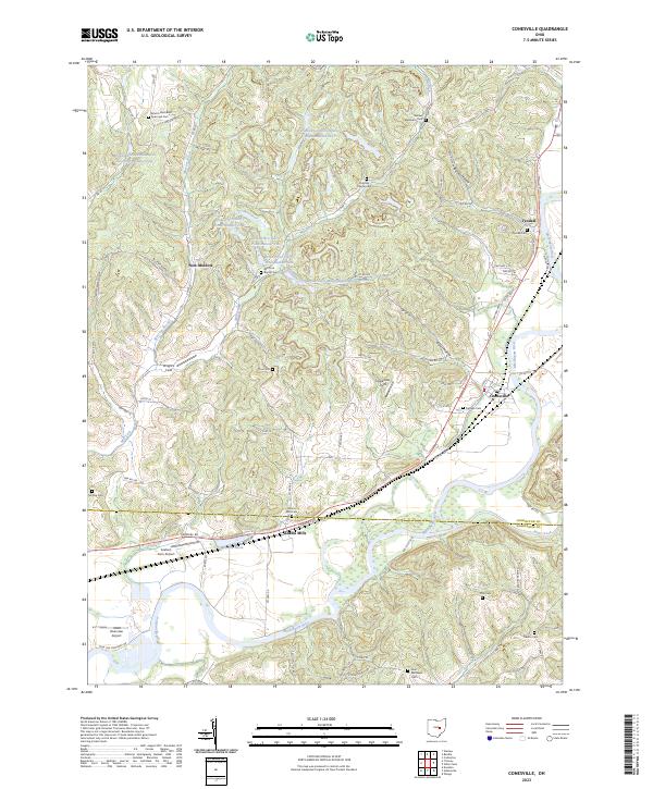
2023 Map of Conesville
USGS Topo · Published 2023About this map
The Muskingum River valley shapes this section of eastern Ohio, where the village of Conesville serves as a focal point near the confluence with Wills Creek. The landscape is a study in industrial transition and rural continuity. Extensive water management features like Peabody Coal Company Impoundment 0117 and a series of Broken Aro Slurry Pond Number One reservoirs suggest the area's history with resource extraction. This industrial footprint contrasts with long-established rural settlements such as New Moscow and Adams Mills. For those tracing local families, the map is densely marked with family and community burial grounds, including the Branch Methodist Episcopal Cem, Titus Cem, and McGee Cem. The inclusion of small private landing strips like Graham Farm Airport and Riverview Airport highlights the unique mix of traditional agriculture and modern utility found along the Mill Fork valley.
Find a feature on this map
65 named features on this map. Tap any name to fly to it.
Don’t see what you’re looking for? This feature index may not catch every label — zoom into the map to look around manually.
Map Details
Editions of this 2023 Conesville Map
This is the sole edition of this map. No revisions or reprints were ever made.
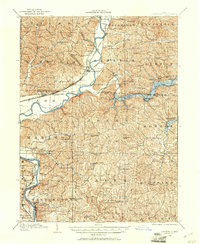
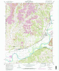
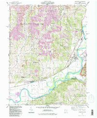
Historical Maps of New Moscow Through Time
5 maps found

Featured Locations
- Conesville, OH
- Virginia Township, OH
- Franklin Township, OH
- Washington Township, OH
- Franklin, Franklin Township