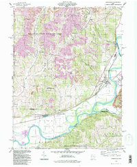
1994 Map of Conesville
USGS Topo · Published 1998About this map
The Muskingum River and Wills Creek define the low-lying eastern terrain of this region, where the Abandon Canal traces a historic transportation path near Conesville. The landscape transitions from these broad river valleys into a heavily dissected upland characterized by numerous Strip Mines and the protected expanses of the Woodbury State Wildlife Area. This era shows a community rooted in small rural centers like Adams Mills and New Moscow, connected by a network of country churches such as Christian Chapel and Mill Fork Ch.
Find a feature on this map
42 named features on this map. Tap any name to fly to it.
Don’t see what you’re looking for? This feature index may not catch every label — zoom into the map to look around manually.
Map Details
Editions of this 1994 Conesville Map
This is the sole edition of this map. No revisions or reprints were ever made.
Other maps of this area

1908 · Conesville
USGS Topo · 1:62,500

1910 · Frazeysburg
USGS Topo · 1:62,500

1910 · Conesville
USGS Topo · 1:62,500

1913 · Brinkhaven
USGS Topo · 1:62,500

1913 · Coshocton
USGS Topo · 1:62,500

1915 · Brinkhaven
USGS Topo · 1:62,500

1915 · Coshocton
USGS Topo · 1:62,500

1943 · Coshocton
USGS Topo · 1:62,500

1950 · Marion
USGS Topo · 1:250,000

1951 · Canton
USGS Topo · 1:250,000