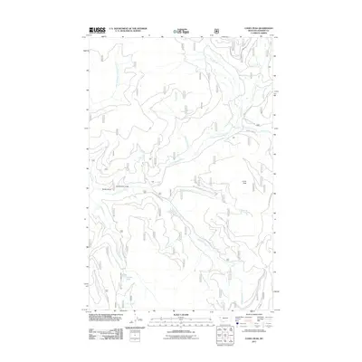
2011 Map of Coney Peak
USGS Topo · Published 2011About this map
Coney Peak stands as a prominent landmark in this corner of Sanders County, defining a landscape carved by the Little Thompson River and its numerous tributaries. In the early 21st century, this area remains a network of Forest Service and development roads, such as Forrest Service Rd 518 and Corona Rd, which provide access to high-altitude water features like Corona Lake. The drainage patterns are intricate, with Alder Creek and its associated Alder Creek Ditch suggesting managed water resources in the northern reaches, while McGinnis Creek and Foolhen Creek intersect the central terrain. Named landforms like Christensen Gulch and Noble Gulch offer specific points of reference for local history and topography, illustrating the deeply etched valley system that feeds into the North Fork Little Thompson River.
Find a feature on this map
25 named features on this map. Tap any name to fly to it.
Don’t see what you’re looking for? This feature index may not catch every label — zoom into the map to look around manually.
Map Details
Editions of this 2011 Coney Peak Map
This is the sole edition of this map. No revisions or reprints were ever made.
Other maps of this area

1956 · Wallace
USGS Topo · 1:250,000

1960 · Wallace
USGS Topo · 1:250,000

1964 · Mill Pocket Creek
USGS Topo · 1:24,000

1964 · Coney Peak
USGS Topo · 1:24,000

1964 · Baldy Lake
USGS Topo · 1:24,000
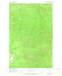
1964 · Cook Mountain
USGS Topo · 1:24,000

1964 · Weeksville
USGS Topo · 1:24,000

1964 · Lonepine
USGS Topo · 1:24,000

1964 · Hot Springs
USGS Topo · 1:24,000
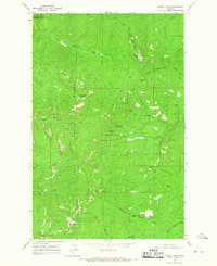
1964 · Bassoo Peak
USGS Topo · 1:24,000