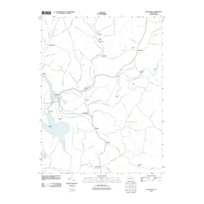
2010 Map of Confluence
USGS Topo · Published 2010About this map
Casselman River, Laurel Hill Creek, and the Youghiogheny River converge at the town of Confluence, shaping a landscape of deep valleys and sharp ridges in southern Somerset County. The massive Youghiogheny Dam controls the flow of these waters, creating the Horseshoe Bend south of the borough. Small settlements like Ursina, Harnedsville, and Listonburg are connected by narrow roads such as Chicken Bone Rd and the Turkeyfoot Trail Rd, tracing the paths of coal and timber history. Railroad infrastructure remains prominent through the topography, with Brooks Tunnel, Benford Tunnel, and Shoofly Tunnel cutting through the steep hills of Fort Hill and Klondike Ridge. This survey documents a rugged corner of the Laurel Highlands where industrial remnants like Coke Oven Hollow sit alongside family landmarks such as the Younkin Cemetery.
Find a feature on this map
84 named features on this map. Tap any name to fly to it.
Don’t see what you’re looking for? This feature index may not catch every label — zoom into the map to look around manually.
Map Details
Editions of this 2010 Confluence Map
This is the sole edition of this map. No revisions or reprints were ever made.
Other maps of this area

1899 · Grantsville
USGS Topo · 1:62,500

1900 · Accident
USGS Topo · 1:62,500

1904 · Grantsville
USGS Topo · 1:62,500

1921 · Meyersdale
USGS Topo · 1:62,500

1922 · Confluence
USGS Topo · 1:62,500

1931 · Confluence
USGS Topo · 1:62,500

1933 · Confluence
USGS Topo · 1:62,500

1939 · Meyersdale
USGS Topo · 1:62,500

1944 · Meyersdale
USGS Topo · 1:62,500

1946 · Grantsville
USGS Topo · 1:24,000
Featured Places
- Confluence, PA
- Ursina, PA
- Lower Turkeyfoot Township, PA
- Henry Clay Township, PA
- Upper Turkeyfoot Township, PA