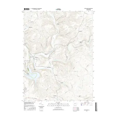
2016 Map of Confluence
USGS Topo · Published 2016About this map
The confluence of the Youghiogheny River and the Casselman River anchors this landscape in southern Somerset County. In this mountain region, the topography is carved by numerous tributaries including Laurel Hill Creek and Drake Run, which flow through deeply etched valleys like Coke Oven Hollow and Paddytown Hollow. The settlement pattern follows these watercourses and the gaps they create, with established towns such as Confluence and Ursina serving as local hubs.
Find a feature on this map
90 named features on this map. Tap any name to fly to it.
Don’t see what you’re looking for? This feature index may not catch every label — zoom into the map to look around manually.
Map Details
Editions of this 2016 Confluence Map
This is the sole edition of this map. No revisions or reprints were ever made.
Other maps of this area

1899 · Grantsville
USGS Topo · 1:62,500

1900 · Accident
USGS Topo · 1:62,500

1904 · Grantsville
USGS Topo · 1:62,500

1921 · Meyersdale
USGS Topo · 1:62,500

1922 · Confluence
USGS Topo · 1:62,500

1931 · Confluence
USGS Topo · 1:62,500

1933 · Confluence
USGS Topo · 1:62,500

1939 · Meyersdale
USGS Topo · 1:62,500

1944 · Meyersdale
USGS Topo · 1:62,500

1946 · Grantsville
USGS Topo · 1:24,000
Featured Places
- Confluence, PA
- Ursina, PA
- Lower Turkeyfoot Township, PA
- Henry Clay Township, PA
- Upper Turkeyfoot Township, PA