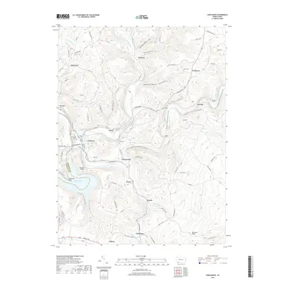
2019 Map of Confluence
USGS Topo · Published 2019About this map
The Casselman River and Laurel Hill Creek meet the Youghiogheny River Lake at the borough of Confluence, a critical drainage junction in the Laurel Highlands. This 2019 survey captures the modern landscape of the Turkeyfoot valley, where historic boroughs like Ursina and Addison sit among steep ridges and narrow hollows. The presence of the Potomac Heritage National Scenic Trail following the riverbanks highlights the area's transition into a recreation-focused corridor, yet the industrial bones of the region remain visible through the engineering of the Brooks Tunnel, Benford Tunnel, and Shoofly Tunnel.
Find a feature on this map
70 named features on this map. Tap any name to fly to it.
Don’t see what you’re looking for? This feature index may not catch every label — zoom into the map to look around manually.
Map Details
Editions of this 2019 Confluence Map
This is the sole edition of this map. No revisions or reprints were ever made.
Other maps of this area

1899 · Grantsville
USGS Topo · 1:62,500

1900 · Accident
USGS Topo · 1:62,500

1904 · Grantsville
USGS Topo · 1:62,500

1921 · Meyersdale
USGS Topo · 1:62,500

1922 · Confluence
USGS Topo · 1:62,500

1931 · Confluence
USGS Topo · 1:62,500

1933 · Confluence
USGS Topo · 1:62,500

1939 · Meyersdale
USGS Topo · 1:62,500

1944 · Meyersdale
USGS Topo · 1:62,500

1946 · Grantsville
USGS Topo · 1:24,000
Featured Places
- Confluence, PA
- Ursina, PA
- Lower Turkeyfoot Township, PA
- Henry Clay Township, PA
- Upper Turkeyfoot Township, PA