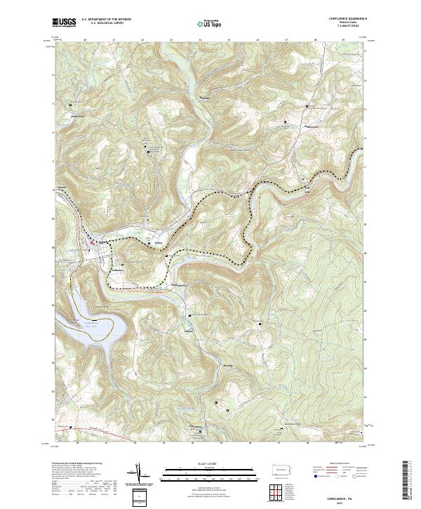
2023 Map of Confluence
USGS Topo · Published 2023About this map
Confluence sits at the triple junction of the Youghiogheny River, Casselman River, and Laurel Hill Creek, a location defined by deep valleys and the expansive Youghiogheny River Lake. The terrain is marked by significant elevation changes, from the heights of Boardman Ridge and Klondike Ridge down to the river bottoms. The map documents numerous early religious and burial sites across the landscape, including the Jersey Settlement Church and the Old Jersey Church Turkeyfoot Baptist Cem, which point to the area’s pioneer roots.
Find a feature on this map
105 named features on this map. Tap any name to fly to it.
Don’t see what you’re looking for? This feature index may not catch every label — zoom into the map to look around manually.
Map Details
Editions of this 2023 Confluence Map
This is the sole edition of this map. No revisions or reprints were ever made.
Other maps of this area

1899 · Grantsville
USGS Topo · 1:62,500

1900 · Accident
USGS Topo · 1:62,500

1904 · Grantsville
USGS Topo · 1:62,500

1921 · Meyersdale
USGS Topo · 1:62,500

1922 · Confluence
USGS Topo · 1:62,500

1931 · Confluence
USGS Topo · 1:62,500

1933 · Confluence
USGS Topo · 1:62,500

1939 · Meyersdale
USGS Topo · 1:62,500

1944 · Meyersdale
USGS Topo · 1:62,500

1946 · Grantsville
USGS Topo · 1:24,000
Featured Places
- Confluence, PA
- Ursina, PA
- Lower Turkeyfoot Township, PA
- Upper Turkeyfoot Township, PA
- Addison Township, PA