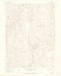
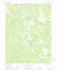
1965 Map of Conifer
USGS Topo · Published 1967About this map
Evergreen and Conifer anchor this mid-1960s study of the foothills of Jefferson County, showing a landscape defined by the transition from rural mountain homesteads to early suburban expansion. The map reveals a high concentration of designated recreation areas including Cub Creek Park, Stanley Park, and numerous Denver Mountain Park Sites, illustrating the region's importance for local tourism and conservation.
Find a feature on this map
58 named features on this map. Tap any name to fly to it.
Don’t see what you’re looking for? This feature index may not catch every label — zoom into the map to look around manually.
Map Details
Editions of this 1965 Conifer Map
7 editions found
Other maps of this area

1893 · Platte Canyon
USGS Topo · 1:125,000

1899 · West Denver
USGS Topo · 1:125,000

1938 · Morrison
USGS Topo · 1:24,000

1942 · Morrison
USGS Topo · 1:31,680

1945 · Indian Hills
USGS Topo · 1:31,680

1945 · Platte Canyon
USGS Topo · 1:24,000

1945 · Pine
USGS Topo · 1:24,000

1945 · Bailey
USGS Topo · 1:24,000
1947 · Morrison
USGS Topo · 1:31,680

1948 · Pine
USGS Topo · 1:24,000