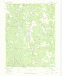
1965 Map of Conifer
USGS Topo · Published 1973About this map
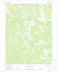
Evergreen Memorial Park and the rural community of Marshdale sit at the center of this mountain landscape, which shows Jefferson County during a period of residential expansion and recreational development. The topography is defined by significant elevations like Bear Mountain and Evergreen Mountain, with drainage patterns formed by North Turkey Creek and South Turkey Creek. Educational and social hubs are clearly marked, including the West Jefferson School and the Pleasant Park Grange. The map reveals the early suburbanization of the Front Range foothills through developments such as Broken Arrow Acres and Green Valley Acres, alongside older religious and youth sites like Our Lady of the Rockies Camp and Camp Newton. Resource extraction remains visible at the Augusta Mine, though much of the land is dedicated to the Arapaho National Forest and various Denver Mountain Park locations.
Find a feature on this map
58 named features on this map. Tap any name to fly to it.
Don’t see what you’re looking for? This feature index may not catch every label — zoom into the map to look around manually.
Map Details
Editions of this 1965 Conifer Map
7 editions found
Other maps of this area

1893 · Platte Canyon
USGS Topo · 1:125,000

1899 · West Denver
USGS Topo · 1:125,000

1938 · Morrison
USGS Topo · 1:24,000

1942 · Morrison
USGS Topo · 1:31,680

1945 · Indian Hills
USGS Topo · 1:31,680

1945 · Platte Canyon
USGS Topo · 1:24,000

1945 · Pine
USGS Topo · 1:24,000

1945 · Bailey
USGS Topo · 1:24,000
1947 · Morrison
USGS Topo · 1:31,680

1948 · Pine
USGS Topo · 1:24,000