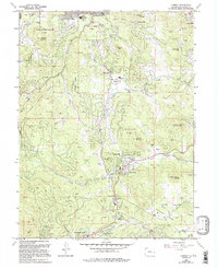
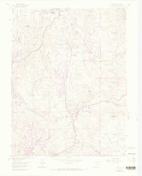
1965 Map of Conifer
USGS Topo · Published 1994About this map
Evergreen and the mountain communities of the Front Range appear here as they were transitioning toward modern residential growth while maintaining their high-altitude parkland character. The map illustrates a landscape defined by prominent peaks like Berrian Mountain and Doublehead Mountain, where narrow gulches and creeks dictate the layout of small settlements. Local education is centered around several facilities including West Jefferson Middle School and Marshdale School, reflecting the post-war expansion of these mountain suburbs. Cultural and civic life is anchored by landmarks such as the Pleasant Park Grange and the religious retreat at Our Lady of the Rockies Camp. Evidence of the area's extraction history persists with the Augusta Mine near Gooseberry Gulch, while recreational and municipal spaces like Meyer Ranch Park and Cub Creek Park occupy the drainages of North Turkey Creek and South Turkey Creek.
Find a feature on this map
54 named features on this map. Tap any name to fly to it.
Don’t see what you’re looking for? This feature index may not catch every label — zoom into the map to look around manually.
Map Details
Editions of this 1965 Conifer Map
7 editions found
Other maps of this area

1893 · Platte Canyon
USGS Topo · 1:125,000

1899 · West Denver
USGS Topo · 1:125,000

1938 · Morrison
USGS Topo · 1:24,000

1942 · Morrison
USGS Topo · 1:31,680

1945 · Indian Hills
USGS Topo · 1:31,680

1945 · Platte Canyon
USGS Topo · 1:24,000

1945 · Pine
USGS Topo · 1:24,000

1945 · Bailey
USGS Topo · 1:24,000
1947 · Morrison
USGS Topo · 1:31,680

1948 · Pine
USGS Topo · 1:24,000