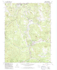
1965 Map of Conifer
USGS Topo · Published 1994About this map
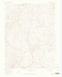
Evergreen Mountain and Legault Mountain dominate this mid-century landscape where mountain topography meets growing residential subdivisions. The map illustrates a transitional period in Jefferson County, where long-established mountain ranching and mining legacies like the Augusta Mine and Meyer Ranch Park exist alongside newer developments such as Broken Arrow Acres and Green Valley Acres. Local educational history is well-preserved through labels for the Wilmot Sch, Marshdale Sch, and West Jefferson Middle Sch, reflecting the community's expansion. Significant recreational and memorial spaces are noted, including the Evergreen Memorial Park (Cem) and the expansive Arapaho National Forest. The drainage patterns of North Turkey Creek and South Turkey Creek provide the primary corridors for settlement and transportation through the foothills.
Find a feature on this map
60 named features on this map. Tap any name to fly to it.
Don’t see what you’re looking for? This feature index may not catch every label — zoom into the map to look around manually.
Map Details
Editions of this 1965 Conifer Map
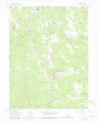
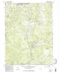
7 editions found
Other maps of this area

1893 · Platte Canyon
USGS Topo · 1:125,000

1899 · West Denver
USGS Topo · 1:125,000

1938 · Morrison
USGS Topo · 1:24,000

1942 · Morrison
USGS Topo · 1:31,680

1945 · Indian Hills
USGS Topo · 1:31,680

1945 · Platte Canyon
USGS Topo · 1:24,000

1945 · Pine
USGS Topo · 1:24,000

1945 · Bailey
USGS Topo · 1:24,000
1947 · Morrison
USGS Topo · 1:31,680

1948 · Pine
USGS Topo · 1:24,000