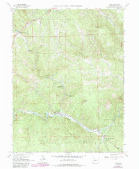
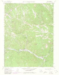
1965 Map of Pine
USGS Topo · Published 1985About this map
The North Fork South Platte River carves a deep valley through this mountain landscape, serving as the primary corridor for settlements like Pine and Buffalo Creek. This 1965 survey, updated in the 1980s, documents a cluster of residential enclaves and summer retreats including Sphinx Park, Indian Springs Village, and Elk Creek Acres. The terrain is punctuated by distinctive geological landmarks such as the Cathedral Spires and high points like Riley Peak and Banner Peak.
Find a feature on this map
40 named features on this map. Tap any name to fly to it.
Don’t see what you’re looking for? This feature index may not catch every label — zoom into the map to look around manually.
Map Details
Editions of this 1965 Pine Map
6 editions found
Other maps of this area

1893 · Platte Canyon
USGS Topo · 1:125,000

1899 · West Denver
USGS Topo · 1:125,000

1945 · Indian Hills
USGS Topo · 1:31,680

1945 · Platte Canyon
USGS Topo · 1:24,000

1945 · Pine
USGS Topo · 1:24,000

1945 · Bailey
USGS Topo · 1:24,000

1948 · Pine
USGS Topo · 1:24,000

1948 · Platte Canyon
USGS Topo · 1:24,000

1949 · Bailey
USGS Topo · 1:24,000

1953 · Denver
USGS Topo · 1:250,000