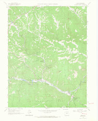
1965 Map of Pine
USGS Topo · Published 1967About this map
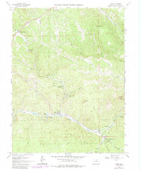
The North Fork South Platte River cuts a deep corridor through this mid-1960s landscape, anchoring a series of small mountain communities like Pine and Buffalo Creek. The settlement pattern follows the narrow valley floor and the winding path of Elk Creek, where developments such as Indian Springs Village, Elk Creek Acres, and Sphinx Park represent the era's residential expansion into the timbered foothills. Industrial activity is visible in the form of a Mine near Last Resort Creek and a Quarry to the south, while the Pike National Forest boundary encompasses much of the surrounding terrain.
Find a feature on this map
39 named features on this map. Tap any name to fly to it.
Don’t see what you’re looking for? This feature index may not catch every label — zoom into the map to look around manually.
Map Details
Editions of this 1965 Pine Map
6 editions found
Other maps of this area

1893 · Platte Canyon
USGS Topo · 1:125,000

1899 · West Denver
USGS Topo · 1:125,000

1945 · Indian Hills
USGS Topo · 1:31,680

1945 · Platte Canyon
USGS Topo · 1:24,000

1945 · Pine
USGS Topo · 1:24,000

1945 · Bailey
USGS Topo · 1:24,000

1948 · Pine
USGS Topo · 1:24,000

1948 · Platte Canyon
USGS Topo · 1:24,000

1949 · Bailey
USGS Topo · 1:24,000

1953 · Denver
USGS Topo · 1:250,000