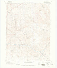
1965 Map of Pine
USGS Topo · Published 1973About this map
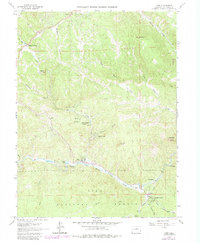
The North Fork South Platte River carves a deep valley through the southern portion of this landscape, anchoring a series of small mountain communities like Pine, Riverview, and Buffalo Creek. The river corridor is marked by remnants of earlier transportation, specifically an Old RR Grade that mirrors the winding path of the water. To the north, the terrain rises into the Pike National Forest, characterized by prominent landmarks such as the Cathedral Spires, Riley Peak, and Banner Peak.
Find a feature on this map
36 named features on this map. Tap any name to fly to it.
Don’t see what you’re looking for? This feature index may not catch every label — zoom into the map to look around manually.
Map Details
Editions of this 1965 Pine Map
6 editions found
Other maps of this area

1893 · Platte Canyon
USGS Topo · 1:125,000

1899 · West Denver
USGS Topo · 1:125,000

1945 · Indian Hills
USGS Topo · 1:31,680

1945 · Platte Canyon
USGS Topo · 1:24,000

1945 · Pine
USGS Topo · 1:24,000

1945 · Bailey
USGS Topo · 1:24,000

1948 · Pine
USGS Topo · 1:24,000

1948 · Platte Canyon
USGS Topo · 1:24,000

1949 · Bailey
USGS Topo · 1:24,000

1953 · Denver
USGS Topo · 1:250,000