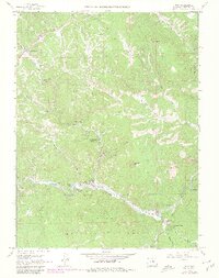
1965 Map of Pine
USGS Topo · Published 1980About this map
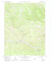
The South Fork Platte River carves a deep path through the southern portion of this region, shaping the development of tight-knit mountain communities. Near the river's bend, the settlement of Pine serves as a focal point, situated near a Cem and the waters of Crystal Lake. The landscape is defined by the transition from water-based transit to rail and road, evidenced by the Old RR Grade that traces the riverbank toward Buffalo Creek. Further north, smaller clusters like Sphinx Park, Indian Springs Village, and Shaffers Crossing dot the terrain, often located near deep drainage features such as Gooseberry Gulch and Shattuck Gulch. The presence of several mines and a Quarry suggests a history of local resource extraction integrated into the residential expansion of Elk Creek Acres and Glenelk during the mid-twentieth century.
Find a feature on this map
40 named features on this map. Tap any name to fly to it.
Don’t see what you’re looking for? This feature index may not catch every label — zoom into the map to look around manually.
Map Details
Editions of this 1965 Pine Map
6 editions found
Other maps of this area

1893 · Platte Canyon
USGS Topo · 1:125,000

1899 · West Denver
USGS Topo · 1:125,000

1945 · Indian Hills
USGS Topo · 1:31,680

1945 · Platte Canyon
USGS Topo · 1:24,000

1945 · Pine
USGS Topo · 1:24,000

1945 · Bailey
USGS Topo · 1:24,000

1948 · Pine
USGS Topo · 1:24,000

1948 · Platte Canyon
USGS Topo · 1:24,000

1949 · Bailey
USGS Topo · 1:24,000

1953 · Denver
USGS Topo · 1:250,000