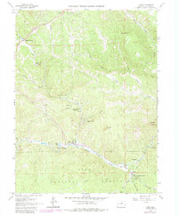
1965 Map of Pine
USGS Topo · Published 1984About this map
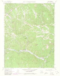
The North Fork South Platte River carves through the southern landscape of Jefferson County, where the historic settlement of Pine sits nestled along the riverbank. This mid-1960s survey, updated in 1980, captures the transition of the region from a quiet mountain corridor to a collection of residential enclaves like Elk Creek Acres and Indian Springs Village. An Old RR Grade follows the river's winding path towards Buffalo Creek, marking the path of former narrow-gauge tracks that once served the logging and tourist trade. To the north, the terrain rises toward Riley Peak, while the distinctive granite formations of the Cathedral Spires dominate the eastern edge. For local historians, the map preserves the locations of early infrastructure including the Elk Creek Fire Sta, a small Cem, and a remote Observatory overlooking Crystal Lake.
Find a feature on this map
39 named features on this map. Tap any name to fly to it.
Don’t see what you’re looking for? This feature index may not catch every label — zoom into the map to look around manually.
Map Details
Editions of this 1965 Pine Map
6 editions found
Other maps of this area

1893 · Platte Canyon
USGS Topo · 1:125,000

1899 · West Denver
USGS Topo · 1:125,000

1945 · Indian Hills
USGS Topo · 1:31,680

1945 · Platte Canyon
USGS Topo · 1:24,000

1945 · Pine
USGS Topo · 1:24,000

1945 · Bailey
USGS Topo · 1:24,000

1948 · Pine
USGS Topo · 1:24,000

1948 · Platte Canyon
USGS Topo · 1:24,000

1949 · Bailey
USGS Topo · 1:24,000

1953 · Denver
USGS Topo · 1:250,000