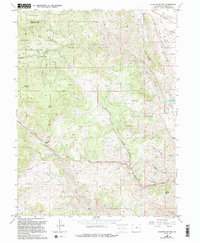
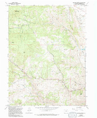
1965 Map of Ralston Buttes
USGS Topo · Published 1994About this map
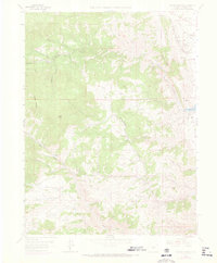
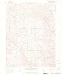
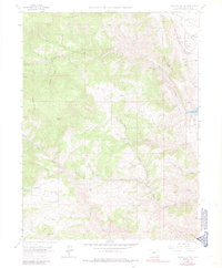
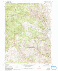
Golden Gate Canyon State Park and White Ranch County Park dominate this mid-century landscape in Jefferson County, where the Front Range begins its sharp ascent. The map documents an area defined by deep drainages like Ralston Creek and Van Bibber Creek, cutting through the prominent peaks of Ralston Buttes and Centralia Mountain. The land use transition is evident, moving from the open Rocky Flats and industrial Claypits in the east to the protected recreation areas and private holdings such as Centennial Ranch in the west.
Find a feature on this map
39 named features on this map. Tap any name to fly to it.
Don’t see what you’re looking for? This feature index may not catch every label — zoom into the map to look around manually.
Map Details
Editions of this 1965 Ralston Buttes Map
9 editions found
Other maps of this area

1899 · West Denver
USGS Topo · 1:125,000

1906 · Blackhawk
USGS Topo · 1:62,500

1938 · Morrison
USGS Topo · 1:24,000

1939 · Golden
USGS Topo · 1:24,000

1942 · Eldorado Springs
USGS Topo · 1:24,000

1942 · Morrison
USGS Topo · 1:31,680

1942 · Golden
USGS Topo · 1:31,680

1942 · Louisville
USGS Topo · 1:31,680

1942 · Tungsten
USGS Topo · 1:24,000

1942 · Black Hawk
USGS Topo · 1:24,000