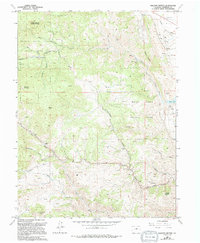
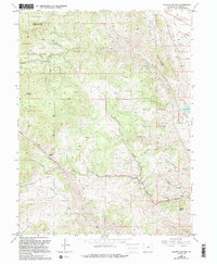
1965 Map of Ralston Buttes
USGS Topo · Published 1994About this map
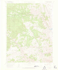
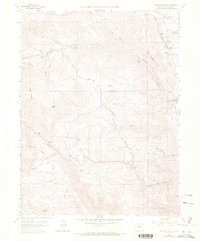
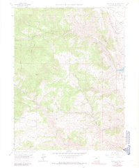
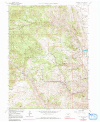
White Ranch County Park and the rugged drainage basins of Ralston Creek anchor this mid-1960s survey of the Colorado Front Range. The landscape is defined by a dense network of gulches including Sawmill Gulch, Van Bibber Creek, and Tucker Gulch, which illustrate the complex hydrology of the eastern foothills. Evidence of early industry and land use is visible in the Claypits near Rocky Flats and the established boundaries of Centennial Ranch. Regional recreation and conservation efforts are prominently marked through the presence of Golden Gate Canyon State Park and North Jeffco Mountain Park. High points like Centralia Mountain and Centennial Cone provide topographic context for this transitional zone between the high plains and the peaks. The map also records localized infrastructure such as the Shooting Range and various prospects that hint at the area's mineral interests.
Find a feature on this map
30 named features on this map. Tap any name to fly to it.
Don’t see what you’re looking for? This feature index may not catch every label — zoom into the map to look around manually.
Map Details
Editions of this 1965 Ralston Buttes Map
9 editions found
Other maps of this area

1899 · West Denver
USGS Topo · 1:125,000

1906 · Blackhawk
USGS Topo · 1:62,500

1938 · Morrison
USGS Topo · 1:24,000

1939 · Golden
USGS Topo · 1:24,000

1942 · Eldorado Springs
USGS Topo · 1:24,000

1942 · Morrison
USGS Topo · 1:31,680

1942 · Golden
USGS Topo · 1:31,680

1942 · Louisville
USGS Topo · 1:31,680

1942 · Tungsten
USGS Topo · 1:24,000

1942 · Black Hawk
USGS Topo · 1:24,000