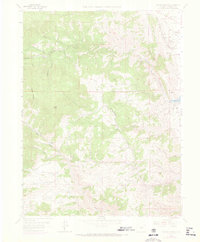
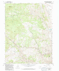
1965 Map of Ralston Buttes
USGS Topo · Published 1973About this map
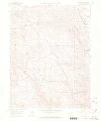
Ralston Buttes and the high peaks of Blue Mountain dominate this mid-century look at Jefferson County, where the transition from the mountains to the Rocky Flats plateau is marked by a complex network of canyons and gulches. The landscape is defined by industrial extraction, featuring numerous mines, a Fire Clay Mine, and multiple clay pits along the eastern edge near the Denver and Rio Grande Western railroad line. Local connectivity is provided by the Robinson Hill Road and various jeep trails that navigate the steep terrain between Mount Tom and Belcher Hill. Settled outposts like Centennial Ranch and Guy Hill appear amidst the drainage systems of Ralston Creek and Golden Gate Canyon, illustrating the scattered homesteading and ranching patterns that persisted alongside the region's mineral operations and water management at the Ralston Res.
Find a feature on this map
40 named features on this map. Tap any name to fly to it.
Don’t see what you’re looking for? This feature index may not catch every label — zoom into the map to look around manually.
Map Details
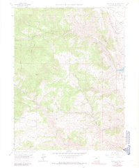
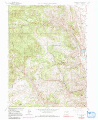
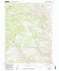
Editions of this 1965 Ralston Buttes Map
9 editions found
Other maps of this area

1899 · West Denver
USGS Topo · 1:125,000

1906 · Blackhawk
USGS Topo · 1:62,500

1938 · Morrison
USGS Topo · 1:24,000

1939 · Golden
USGS Topo · 1:24,000

1942 · Eldorado Springs
USGS Topo · 1:24,000

1942 · Morrison
USGS Topo · 1:31,680

1942 · Golden
USGS Topo · 1:31,680

1942 · Louisville
USGS Topo · 1:31,680

1942 · Tungsten
USGS Topo · 1:24,000

1942 · Black Hawk
USGS Topo · 1:24,000