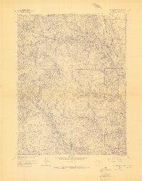
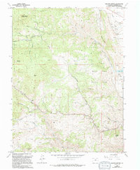
1965 Map of Ralston Buttes
USGS Topo · Published 1967About this map
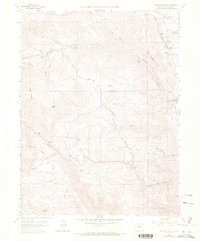
Centennial Cone and Belcher Hill dominate this mid-1960s survey of the Front Range in Jefferson County. The landscape is defined by a dense network of drainages including Ralston Creek, Tucker Gulch, and Indian Gulch, which carve through the high terrain west of Rocky Flats. This specific edition represents an advance proof, capturing the topography just as the region began seeing increased coordination under the Inter-County Regional Planning Commission.
Find a feature on this map
16 named features on this map. Tap any name to fly to it.
Don’t see what you’re looking for? This feature index may not catch every label — zoom into the map to look around manually.
Map Details
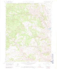
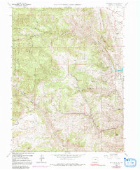
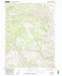
Editions of this 1965 Ralston Buttes Map
9 editions found
Other maps of this area

1899 · West Denver
USGS Topo · 1:125,000

1906 · Blackhawk
USGS Topo · 1:62,500

1938 · Morrison
USGS Topo · 1:24,000

1939 · Golden
USGS Topo · 1:24,000

1942 · Eldorado Springs
USGS Topo · 1:24,000

1942 · Morrison
USGS Topo · 1:31,680

1942 · Golden
USGS Topo · 1:31,680

1942 · Louisville
USGS Topo · 1:31,680

1942 · Tungsten
USGS Topo · 1:24,000

1942 · Black Hawk
USGS Topo · 1:24,000