Loading...
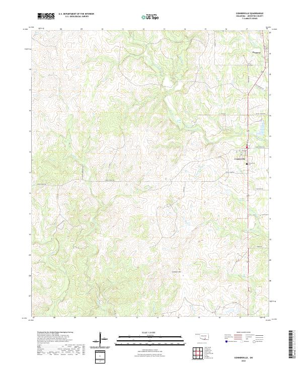
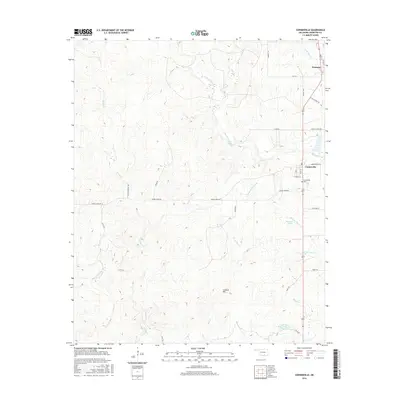
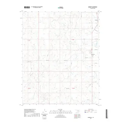
Loading map...2022 Map of Connerville
USGS Topo · Published 2022About this map
Connerville and Pontotoc anchor this rural Oklahoma landscape, where the Blue River and its numerous tributaries carve through the rolling terrain. The settlement pattern is defined by section roads such as White Elephant Rd and Indian Village RD, reflecting the organized land division of the region. Local history is centered at the Connerville Cem and various family-named landmarks like Tisdell Spring and Diamond Spring.
Find a feature on this map
40 named features on this map. Tap any name to fly to it.
Don’t see what you’re looking for? This feature index may not catch every label — zoom into the map to look around manually.
Map Details
Date Portrayed2022
Date Published2022
PublisherU.S. Geological Survey
Map TypeTopographic
Scale1:24,000
Physical Dimensions24 x 29 inches
Editions of this 2022 Connerville Map
This is the sole edition of this map. No revisions or reprints were ever made.
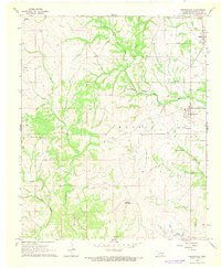
Historical Maps of Pontotoc Through Time
6 maps found
Featured Locations
Source Details
SourceU.S. Geological Survey
CopyrightPublic Domain