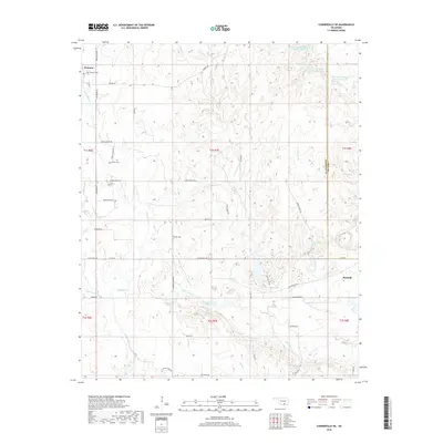
2018 Map of Connerville NE
USGS Topo · Published 2018About this map
The Blue River and its numerous tributaries, including Little Blue Cr and Sandy Cr, carve a complex drainage pattern through this section of south-central Oklahoma. The landscape is dotted with natural springs such as Deadman Spring, Viola Spring, and Houghtubby Spring, which historically dictated the placement of early homesteads and roads. Many of these thoroughfares still carry family and descriptive names, including Harris Ranch Rd, McIntosh Rd, and Buzzard Rd.
Find a feature on this map
58 named features on this map. Tap any name to fly to it.
Don’t see what you’re looking for? This feature index may not catch every label — zoom into the map to look around manually.
Map Details
Editions of this 2018 Connerville NE Map
This is the sole edition of this map. No revisions or reprints were ever made.
Other maps of this area

1896 · Coalgate
USGS Topo · 1:125,000

1899 · Coalgate
USGS Topo · 1:125,000

1899 · Atoka
USGS Topo · 1:125,000

1900 · Atoka
USGS Topo · 1:125,000

1900 · Coalgate
USGS Topo · 1:125,000

1901 · Stonewall
USGS Topo · 1:125,000

1901 · Tishomingo
USGS Topo · 1:125,000

1957 · Ardmore
USGS Topo · 1:250,000

1963 · Ardmore
USGS Topo · 1:250,000
1966 · Tupelo
USGS Topo · 1:24,000