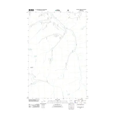
2011 Map of Connor Creek
USGS Topo · Published 2011About this map
Kah Lookout and Spring Slide Mountain define the high points of this montane landscape in Flathead County, where a complex network of waterways feeds the drainage system. The terrain is dominated by the course of Connor Creek and the long, winding Sullivan Creek, which are fed by numerous tributaries including Slide Creek and Branch Creek. This 2011 survey reveals a remote area largely accessed by forest roads such as Route 547, connecting scattered high-altitude water bodies like Trinkus Lake and Bond Lake.
Find a feature on this map
34 named features on this map. Tap any name to fly to it.
Don’t see what you’re looking for? This feature index may not catch every label — zoom into the map to look around manually.
Map Details
Editions of this 2011 Connor Creek Map
This is the sole edition of this map. No revisions or reprints were ever made.
Other maps of this area

1914 · Nyack
USGS Topo · 1:125,000

1955 · Choteau
USGS Topo · 1:250,000

1957 · Choteau
USGS Topo · 1:250,000

1958 · Choteau
USGS Topo · 1:250,000

1958 · Circus Peak
USGS Topo · 1:24,000

1958 · Quintonkon
USGS Topo · 1:24,000

1960 · Cut Bank
USGS Topo · 1:250,000

1962 · Choteau
USGS Topo · 1:250,000

1963 · Cut Bank
USGS Topo · 1:250,000

1964 · Cut Bank
USGS Topo · 1:250,000